Dolomites: Peaks, Lakes & Valleys
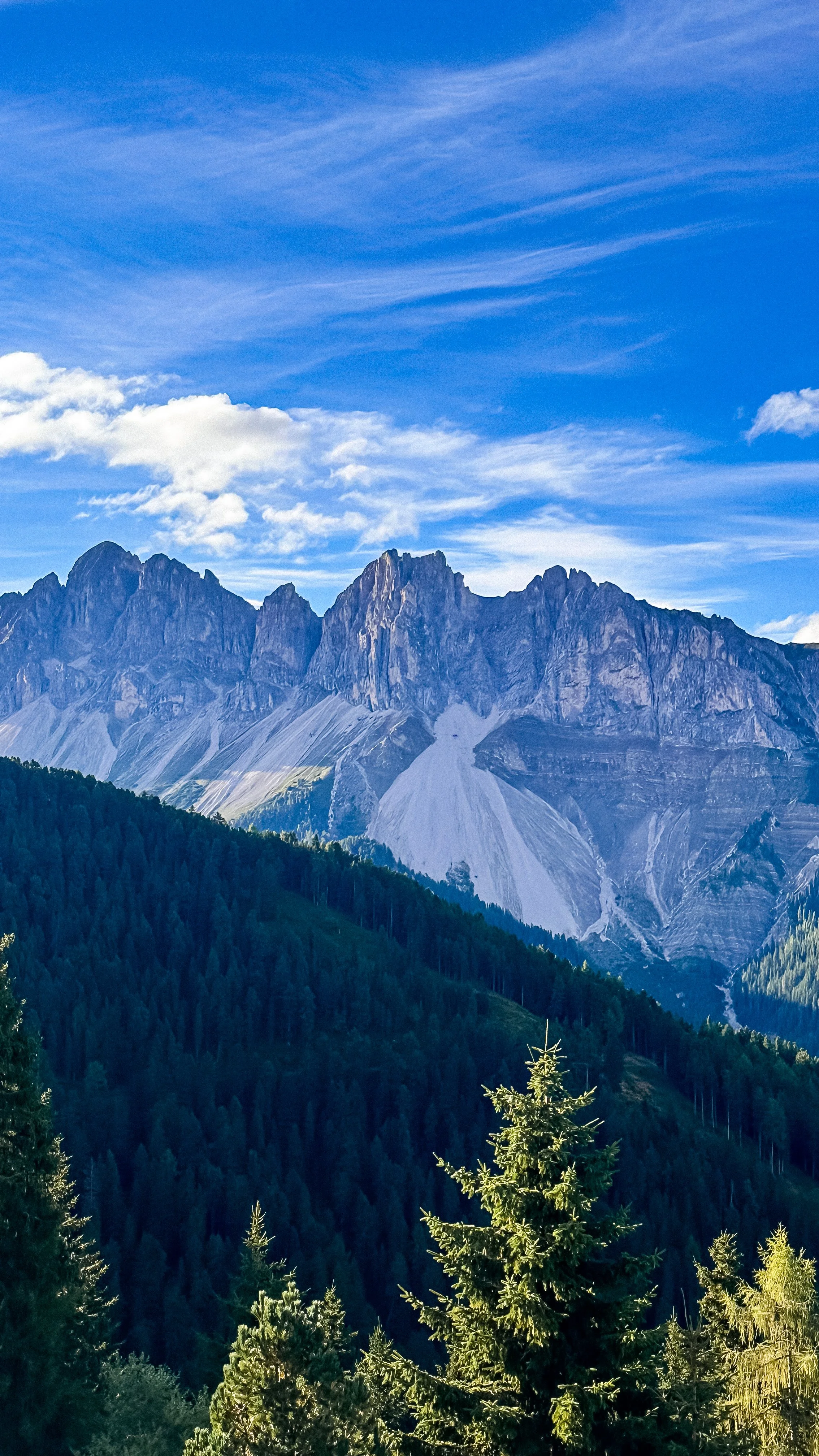
View of the Plose Mountains
The Dolomites are not just about beautiful views. They’re about scale, light, and movement. But also about logistics. Distances, mountain roads, timing, and planning make a big difference in how you experience the region.
This guide is organized by areas, not days, to help you plan a more fluid and realistic trip.
How to structure your stay (important)
The Dolomites are more spread out than they seem on a map and driving between certain highlights can easily take 2 to 3 hours.
What I recommend is to stay in 2 different bases. For the places we visited, we stayed in:
Val Gardena area (Ortisei / Seceda / Alpe di Siusi) and Eastern Dolomites (Tre Cime / Lago di Braies)
This allows you to keep a slower rhythm and avoid long, tiring drives.
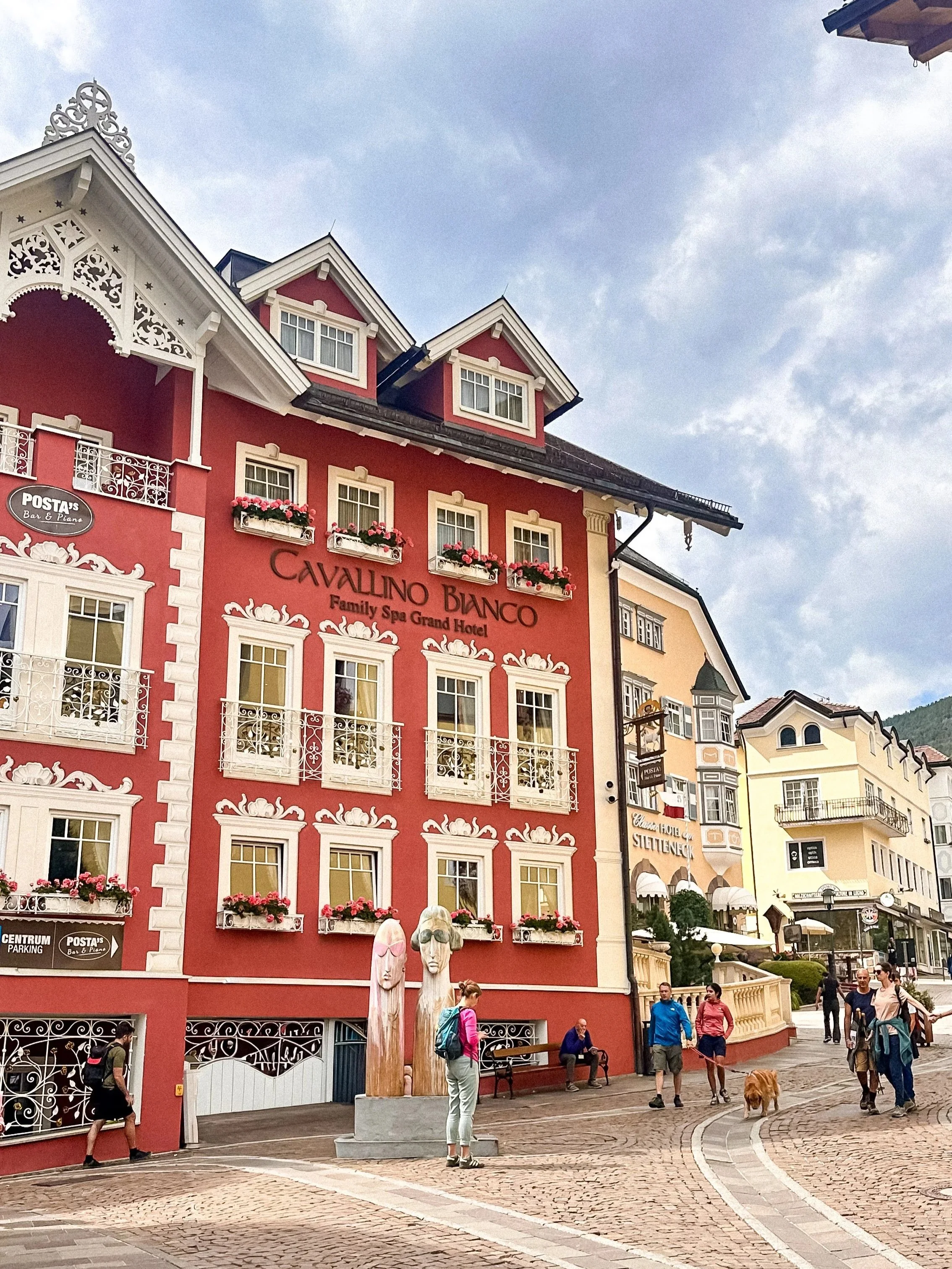
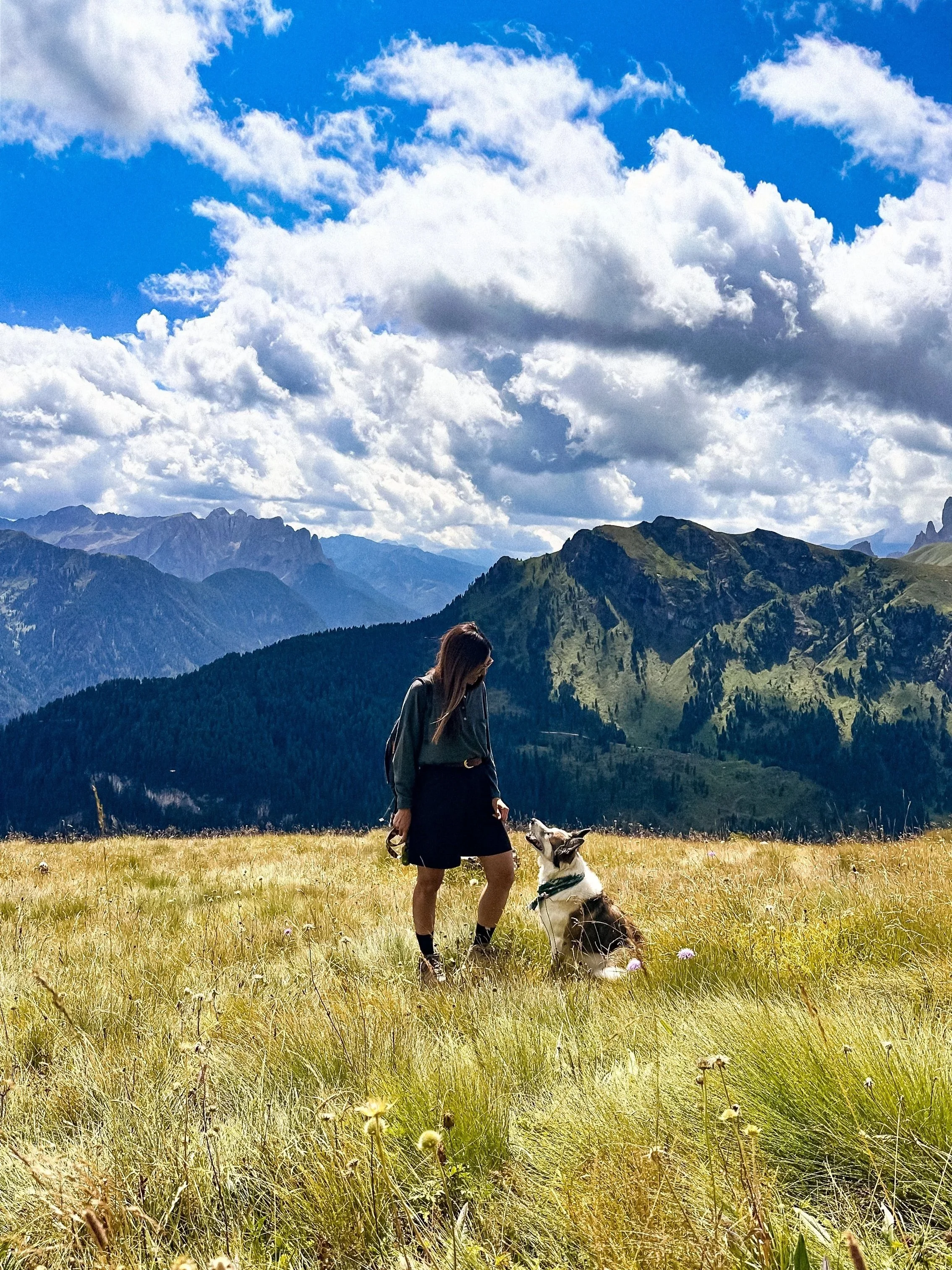
Val Gardena & surroundings
/// Seceda
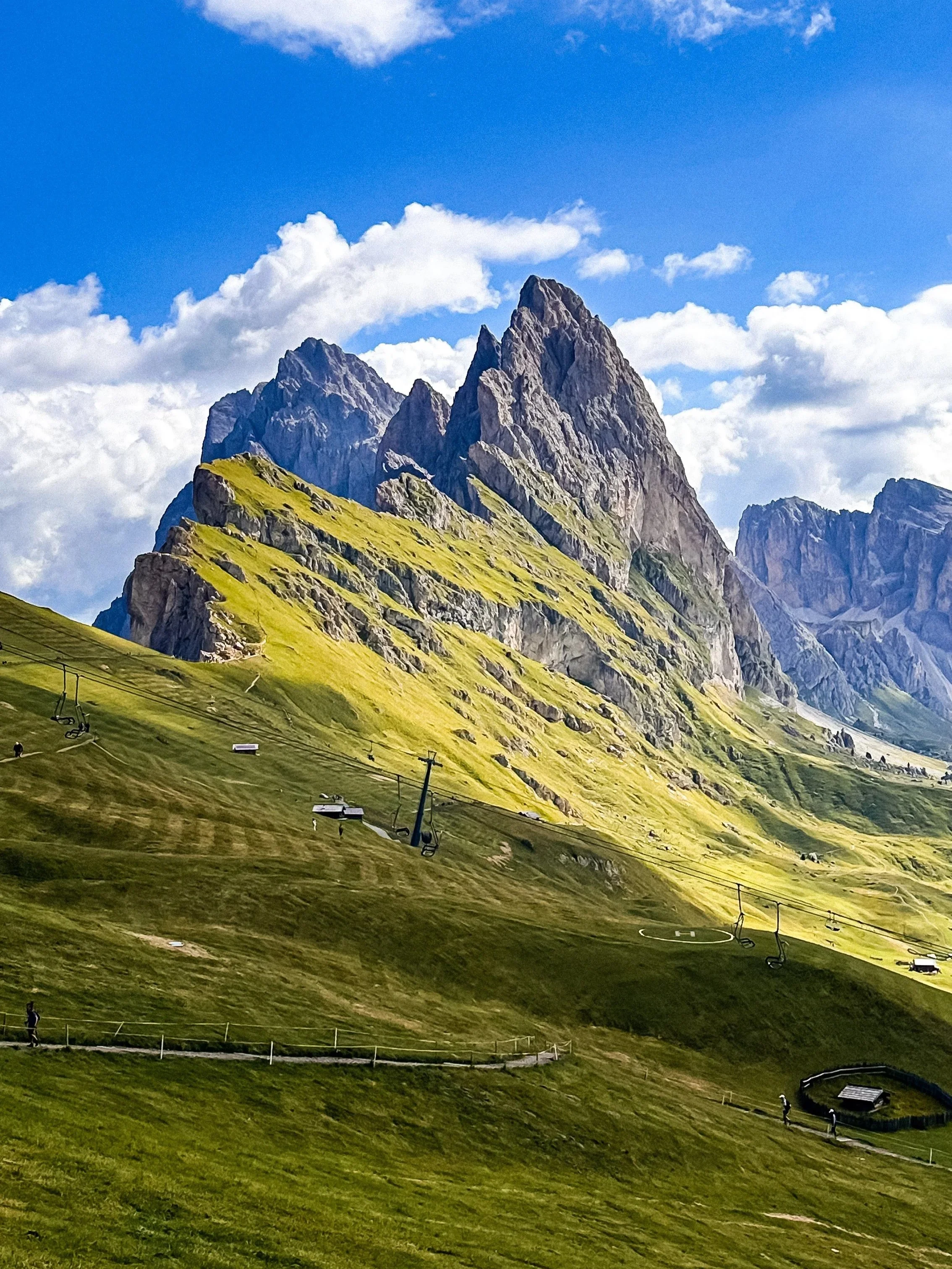
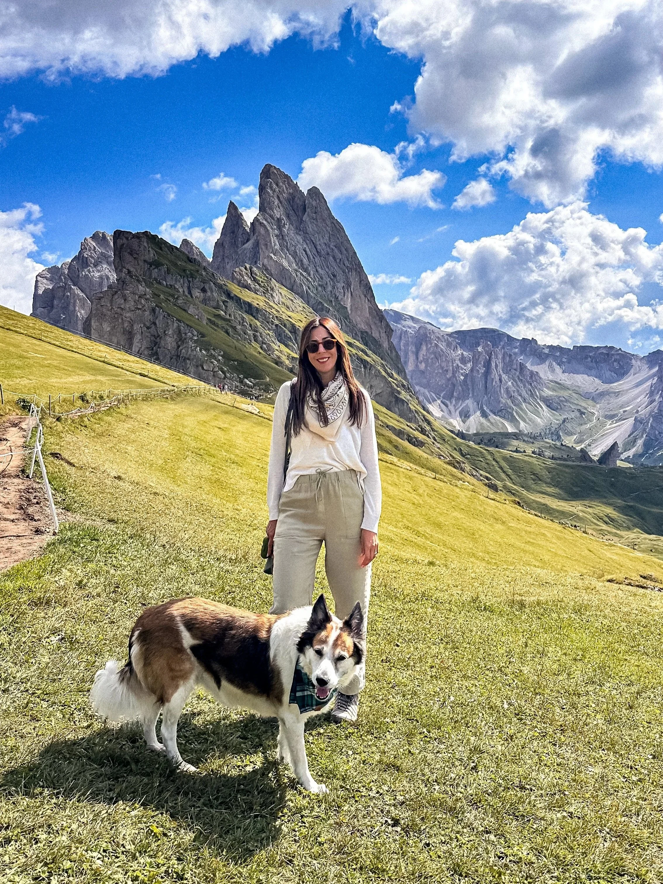
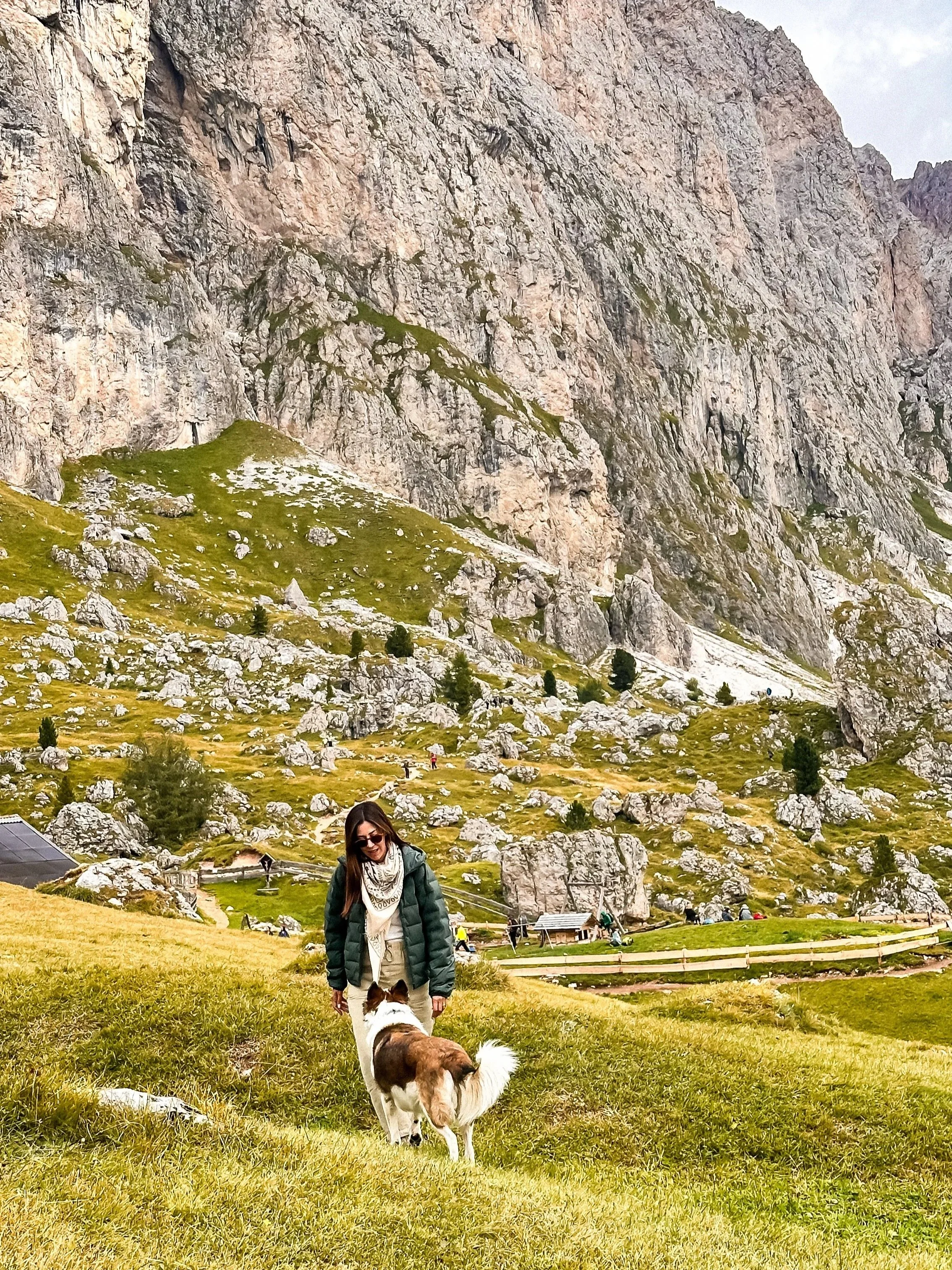
Seceda is one of the most striking viewpoints in the Dolomites, and probably one of the most recognizable landscapes in the region (but the crowdest one due to its easy access).
What makes it so unique is the contrast. On one side, soft alpine meadows. On the other, a dramatic, almost vertical ridge that drops into the valley. It’s this sharp line that gives Seceda its iconic look.
The area is part of the Dolomiti UNESCO zone and has long been used as high-altitude pastureland. Today, it’s a mix of hiking trails, panoramic viewpoints, and mountain huts.
Even if you’re not hiking, just walking along the ridge already feels quite impressive.
Access
Park in Ortisei (paid parking garages in town), and then walk to the cable car station (Ortisei → Furnes → Seceda)
Practical tips
Book the cable car tickets in advance and check lift opening times carefully, they change depending on the season.
Time to spend
2 to 4 hours depending on whether you hike or just explore
Main trails:
Panoramic ridge walk (most common)
Easy to moderate. From the top station, you can walk along the ridge with minimal effort.
Seceda to Col Raiser descent
Moderate: A longer walk down through alpine meadows and huts.
Hikes towards Pieralongia / Odle area
Moderate to more demanding. Leads deeper into the landscape with fewer people.
/// Ortisei
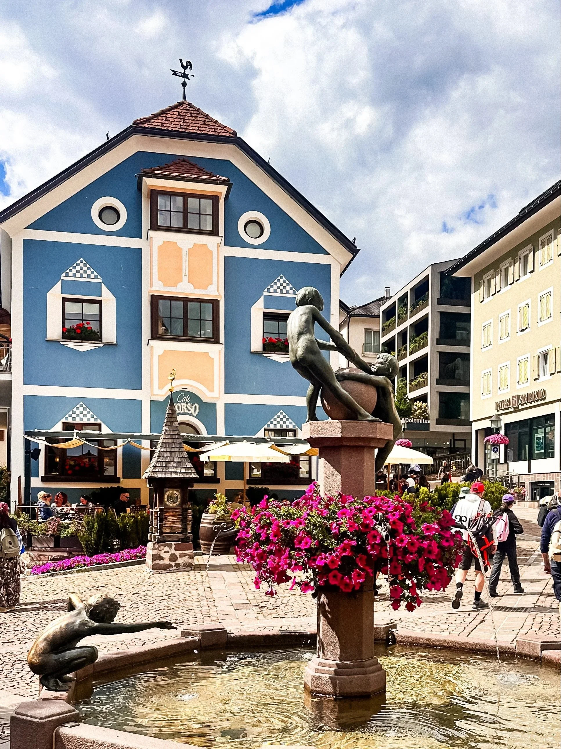
Ortisei is one of the main villages in Val Gardena and a very practical base.
It’s more lively than other villages, with restaurants, cafés, and shops, but still very charming.
It also works as a hub for several lifts, including Seceda and Alpe di Siusi.
/// Sassolungo & Sassopiatto
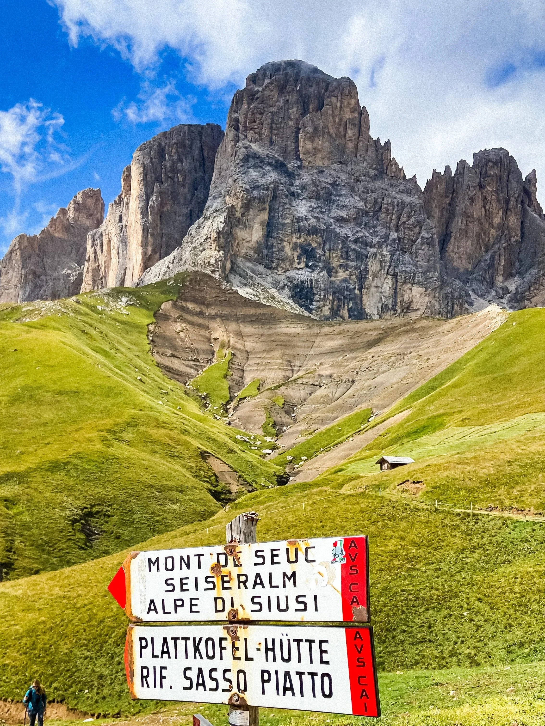
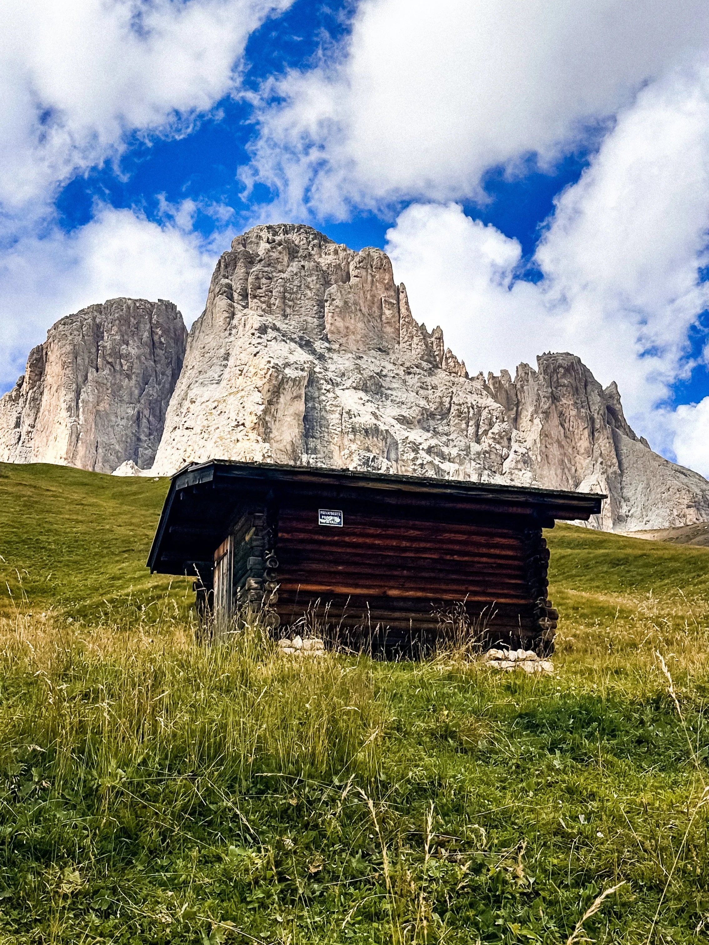

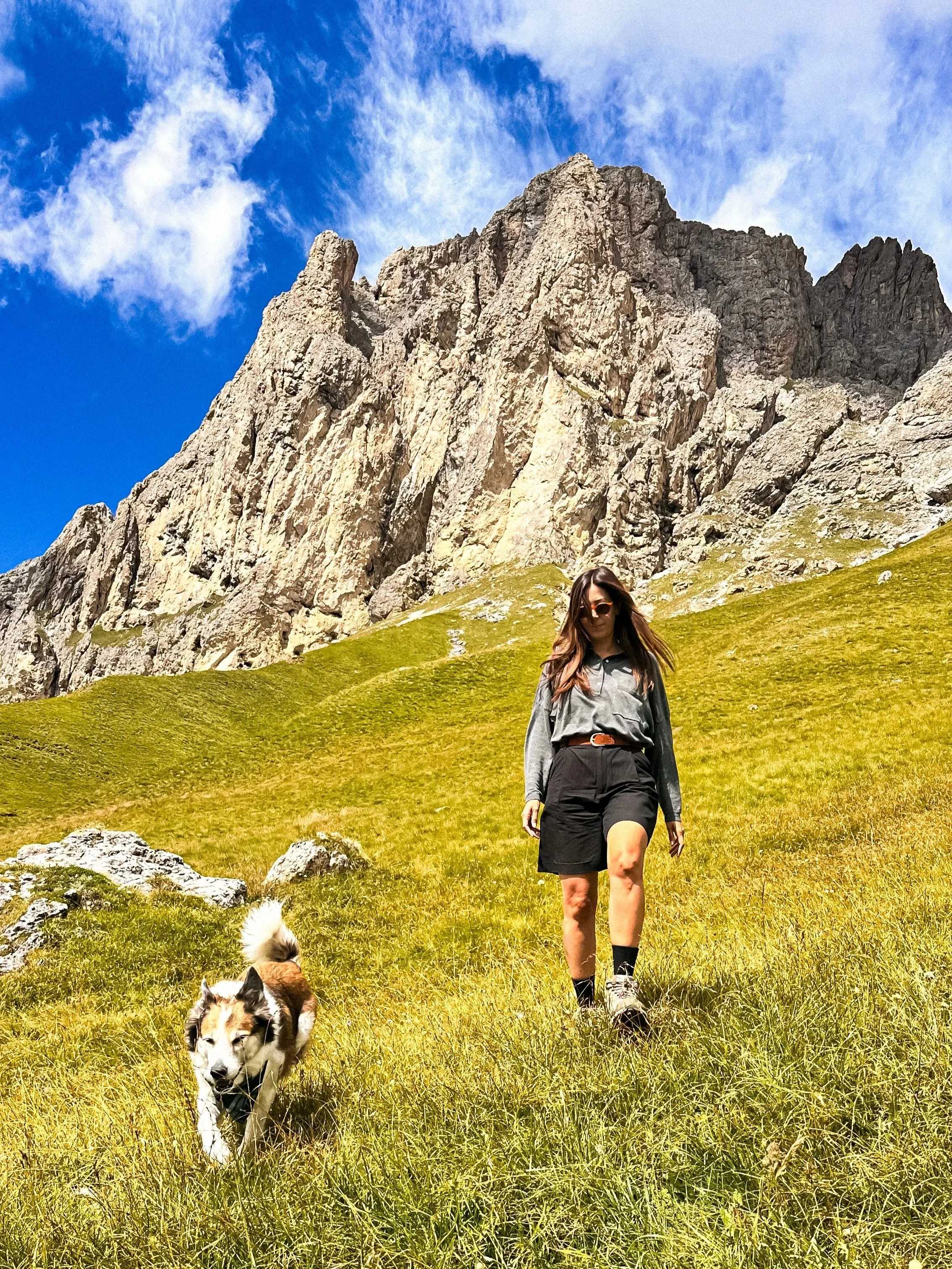
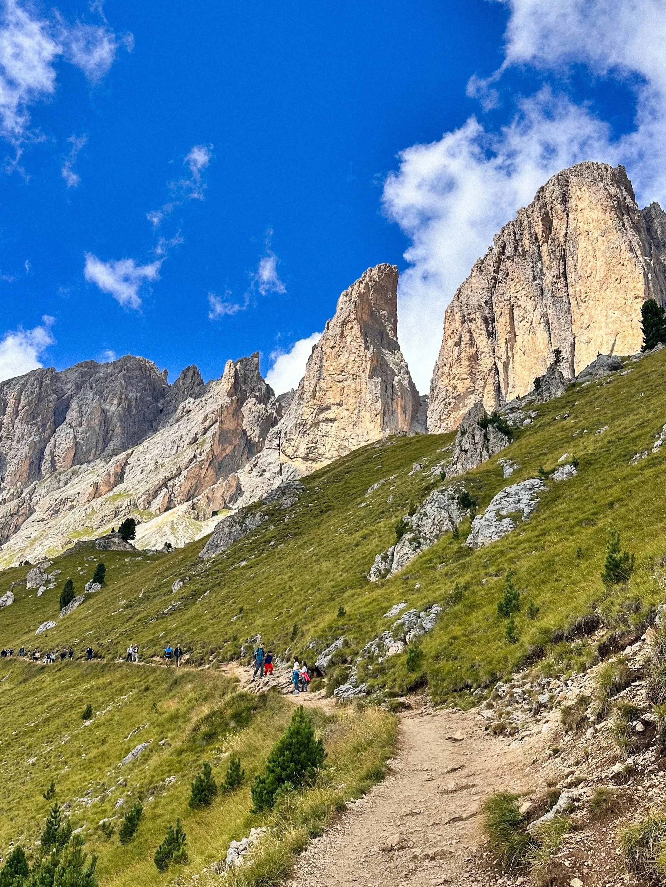
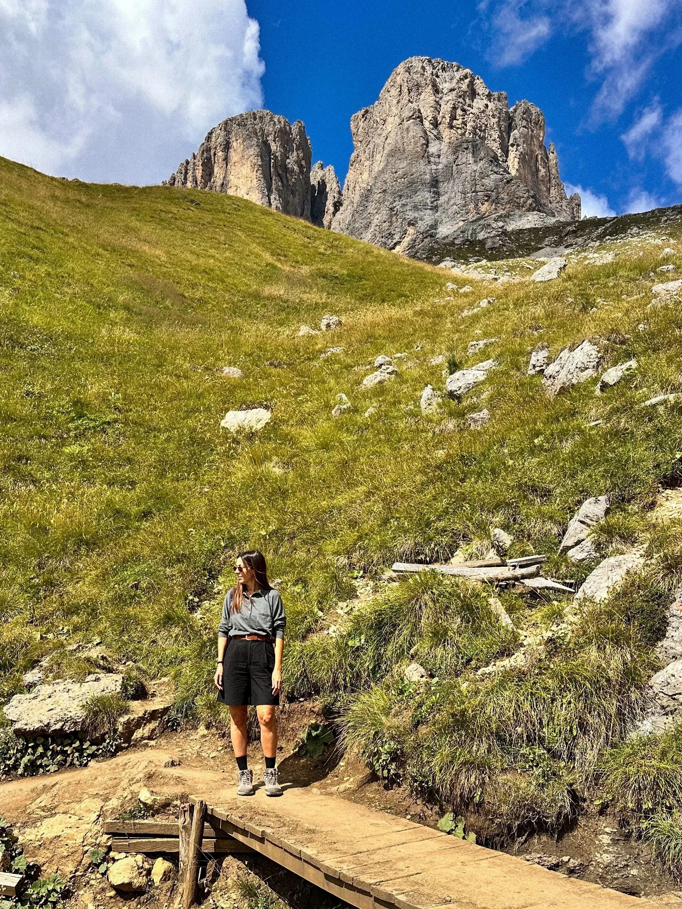
Sassolungo is one of the most recognizable mountain groups in the Dolomites, known for its massive vertical rock faces rising directly from soft alpine meadows.
Right next to it, Sassopiatto offers a more rounded, contrasting shape, which creates a very balanced and visually striking landscape when seen together.
This area feels a bit more immersive than Seceda and much less crowded. There, you’re not just looking at the mountains, you’re walking through them, surrounded by wide open spaces, wooden huts, and long panoramic views.
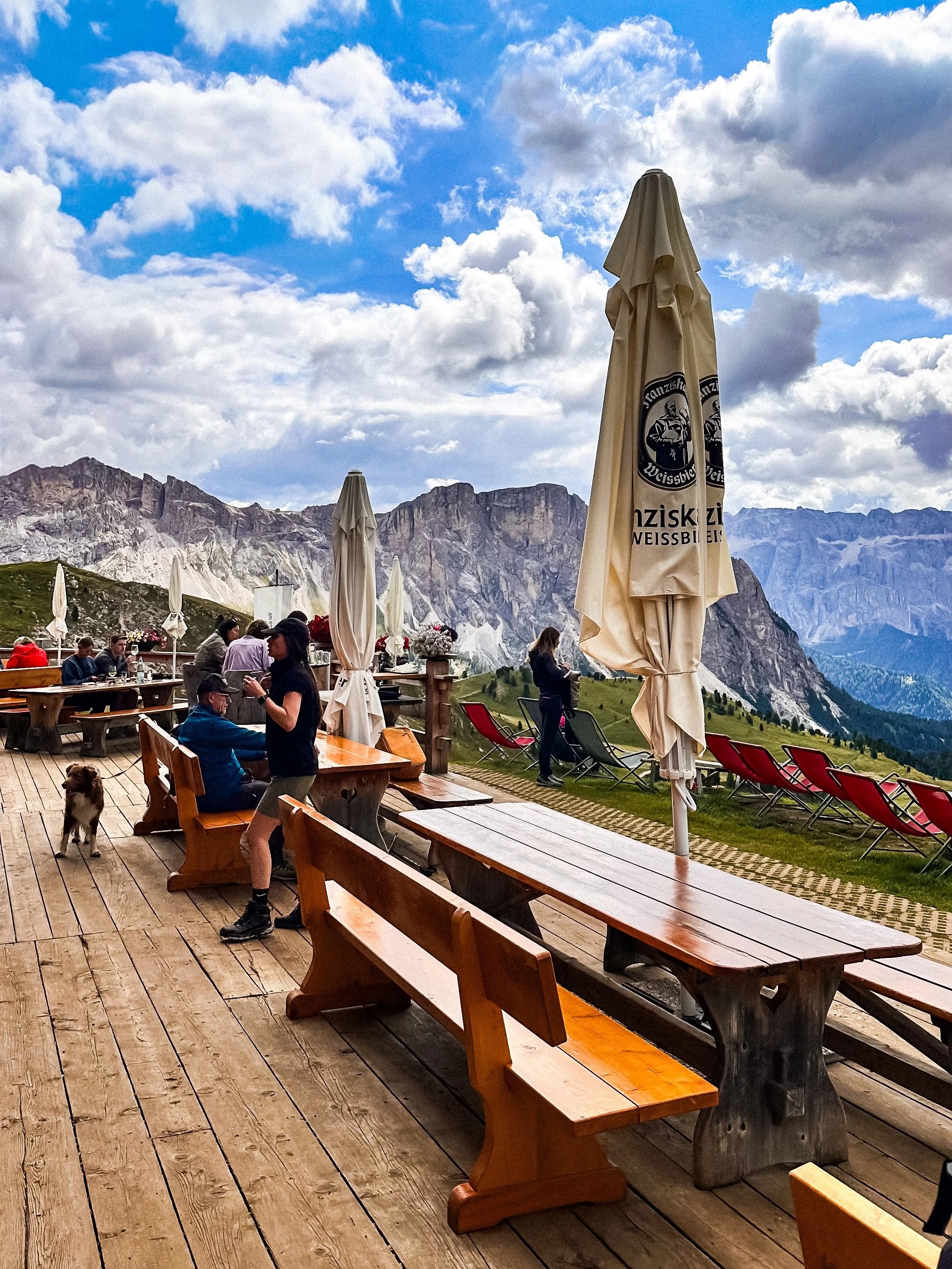
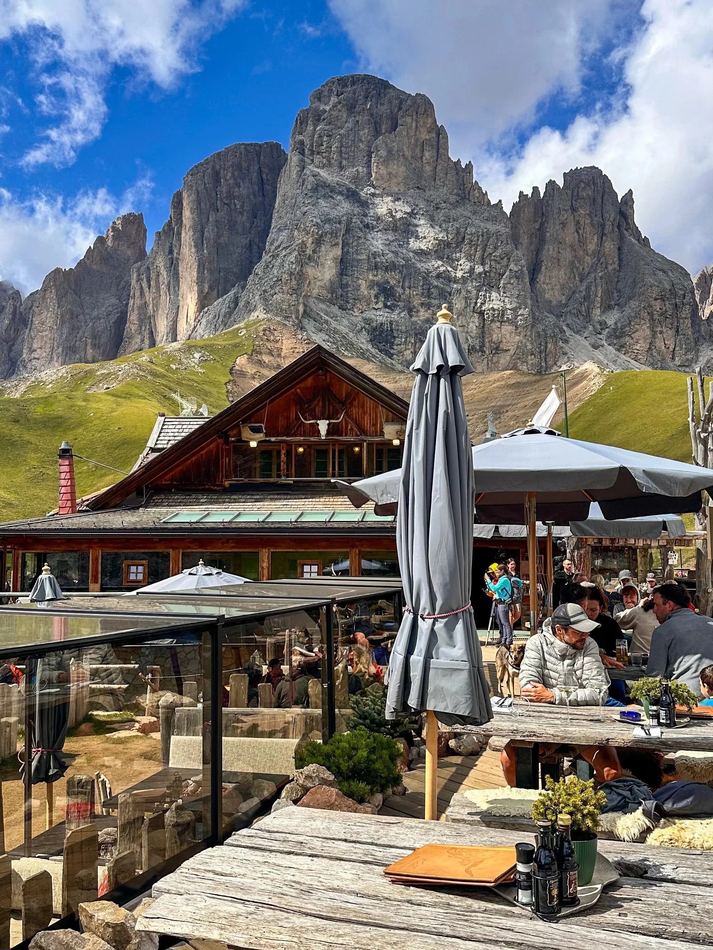
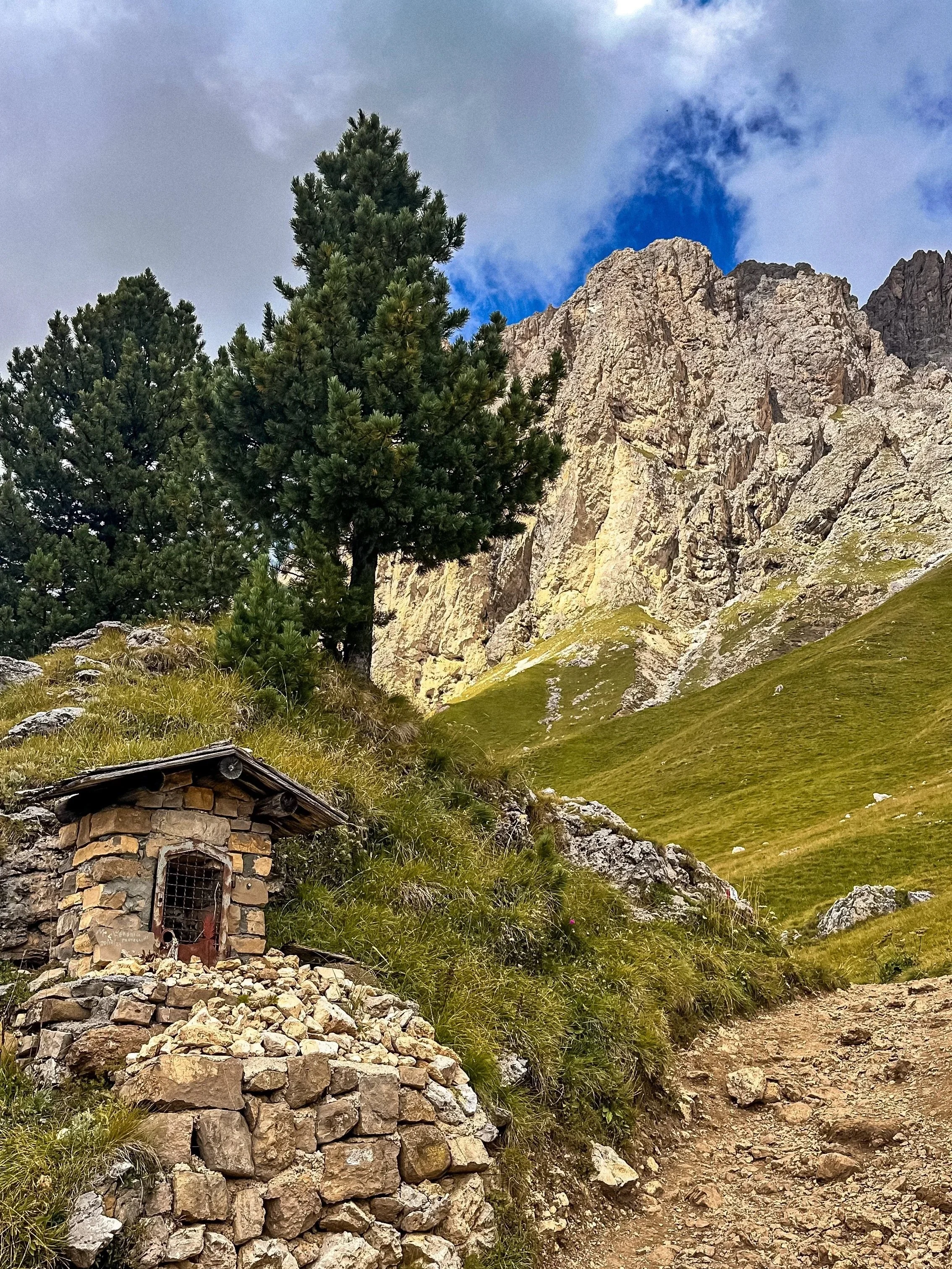
Rifugio Stop: Friedrich August
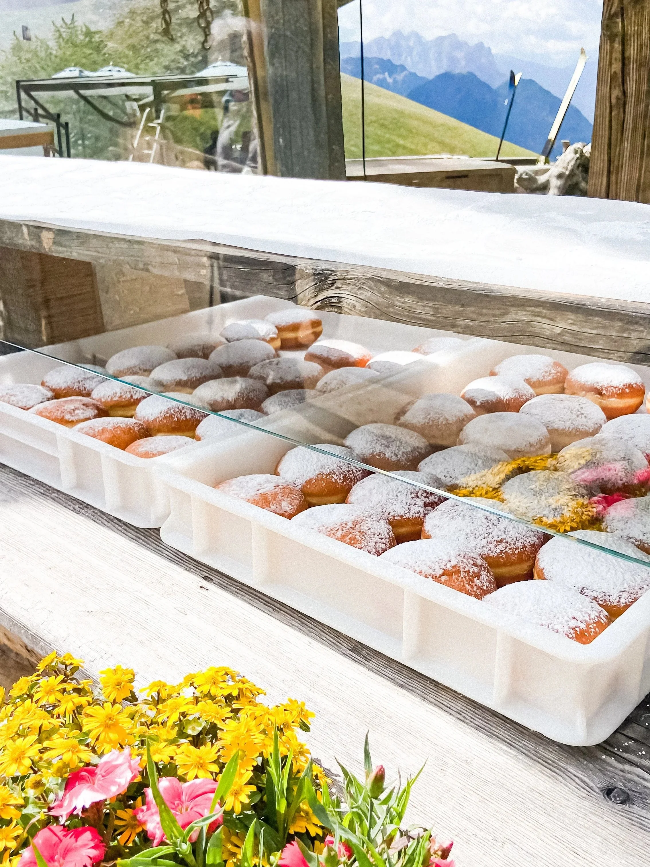
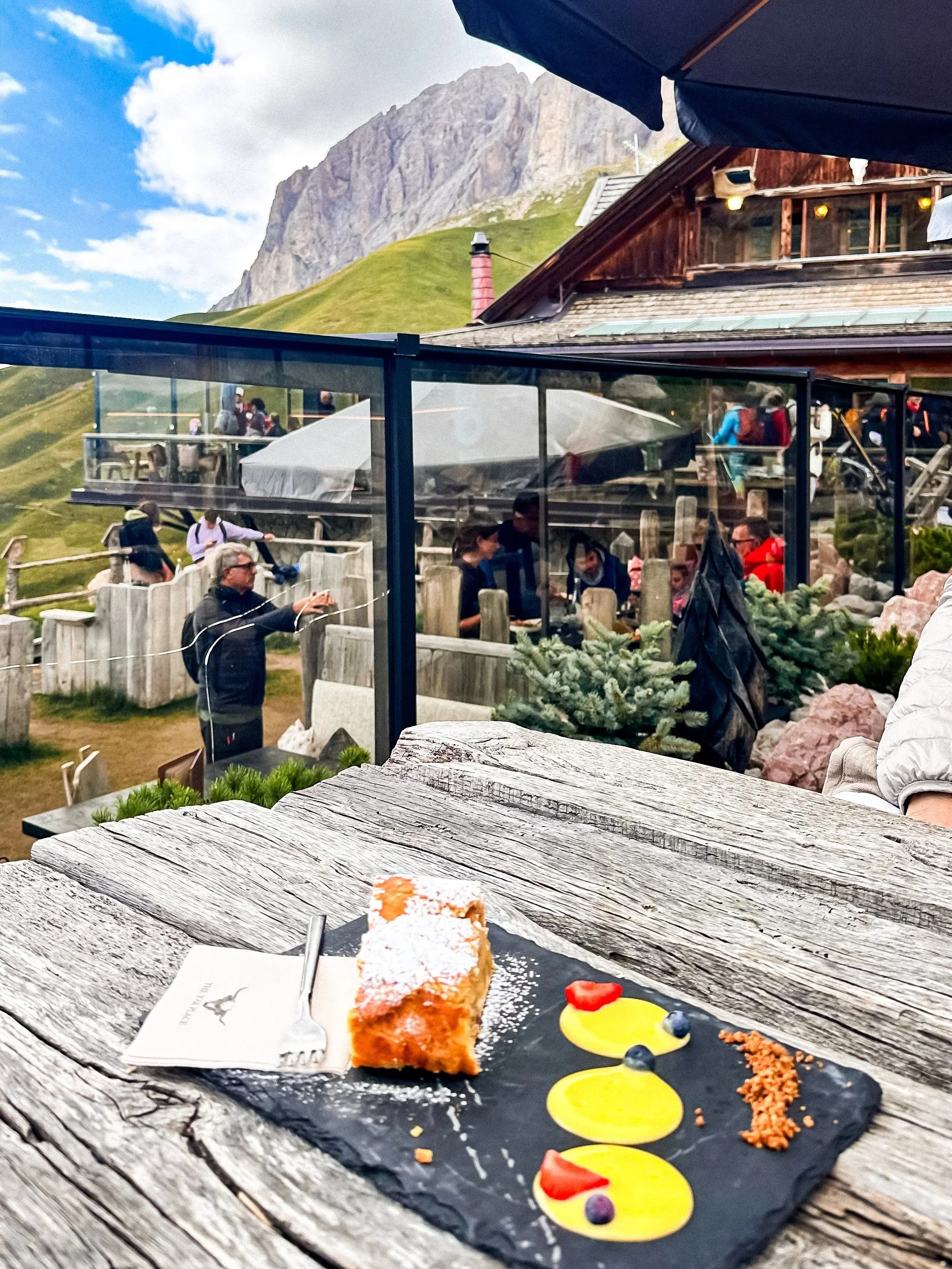
Rifugio Friedrich August is one of those places you come for the view and end up staying longer.
Located along the Sassolungo area, it offers a direct, open view of the mountains, especially beautiful in the morning light. It’s also known for its food, simple, local, and very well done. The bomboloni (Italian donuts) are a must, but they’re usually only available in the morning, until around 10am.
Access & parking
The area is usually accessed via Passo Sella (you find several roadside parking spots along the pass, but it can get very busy in summer, especially mid-morning)
Main trails:
Sassolungo / Sassopiatto loop (full experience)
~15–17 km, 5–6 hours
A full loop around the massif, one of the most scenic hikes in the region. Moderate difficulty, but long.
Shorter panoramic walks
Multiple easier trails from Passo Sella or nearby rifugi. Good option if you want the views without the full hike.
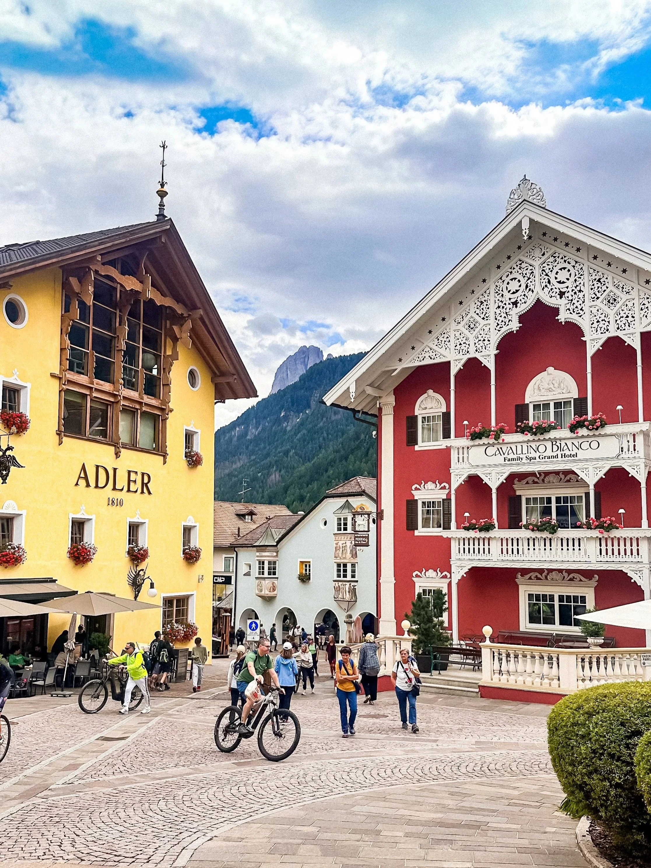
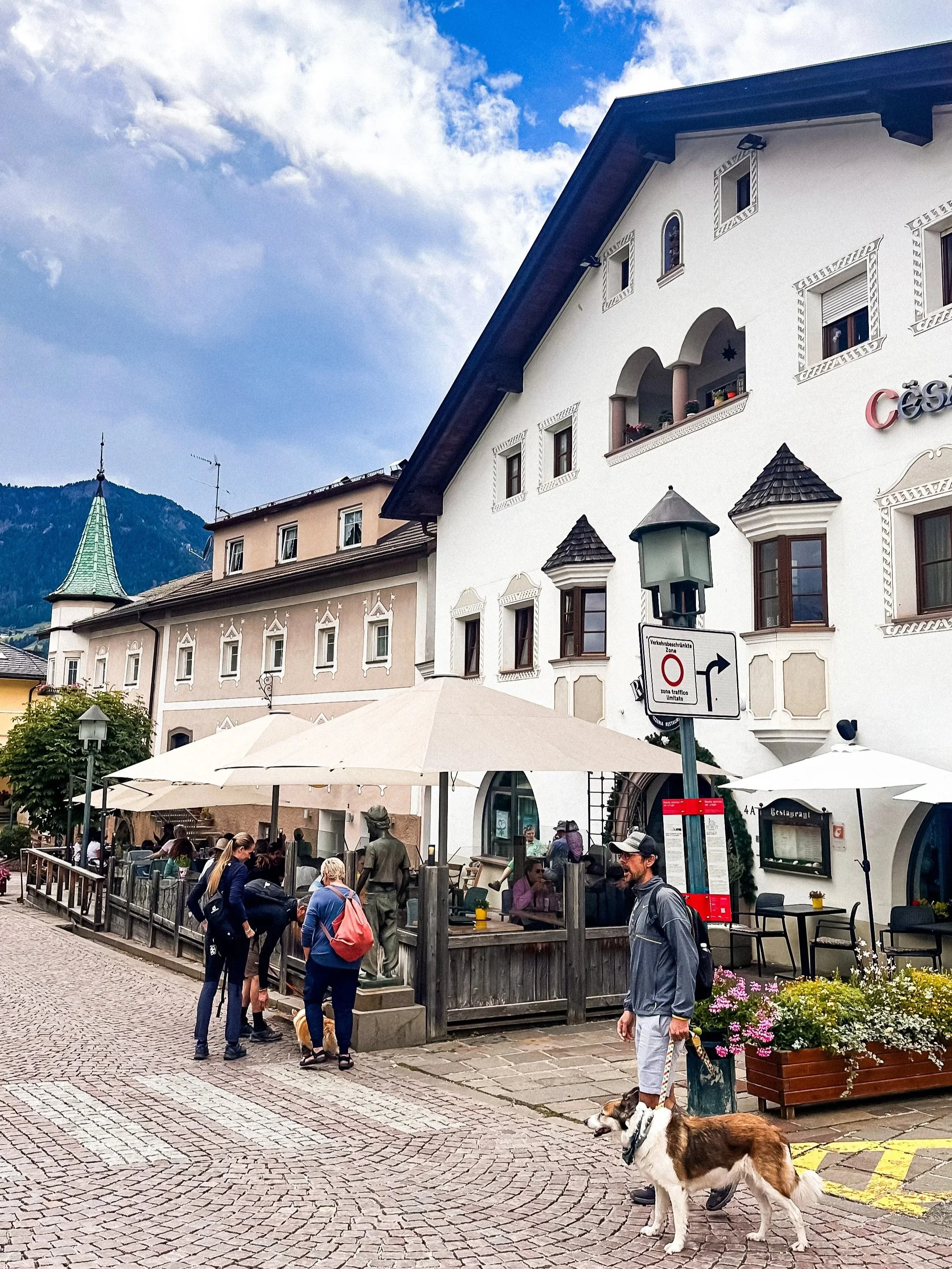
/// Castelrotto (Kastelruth)
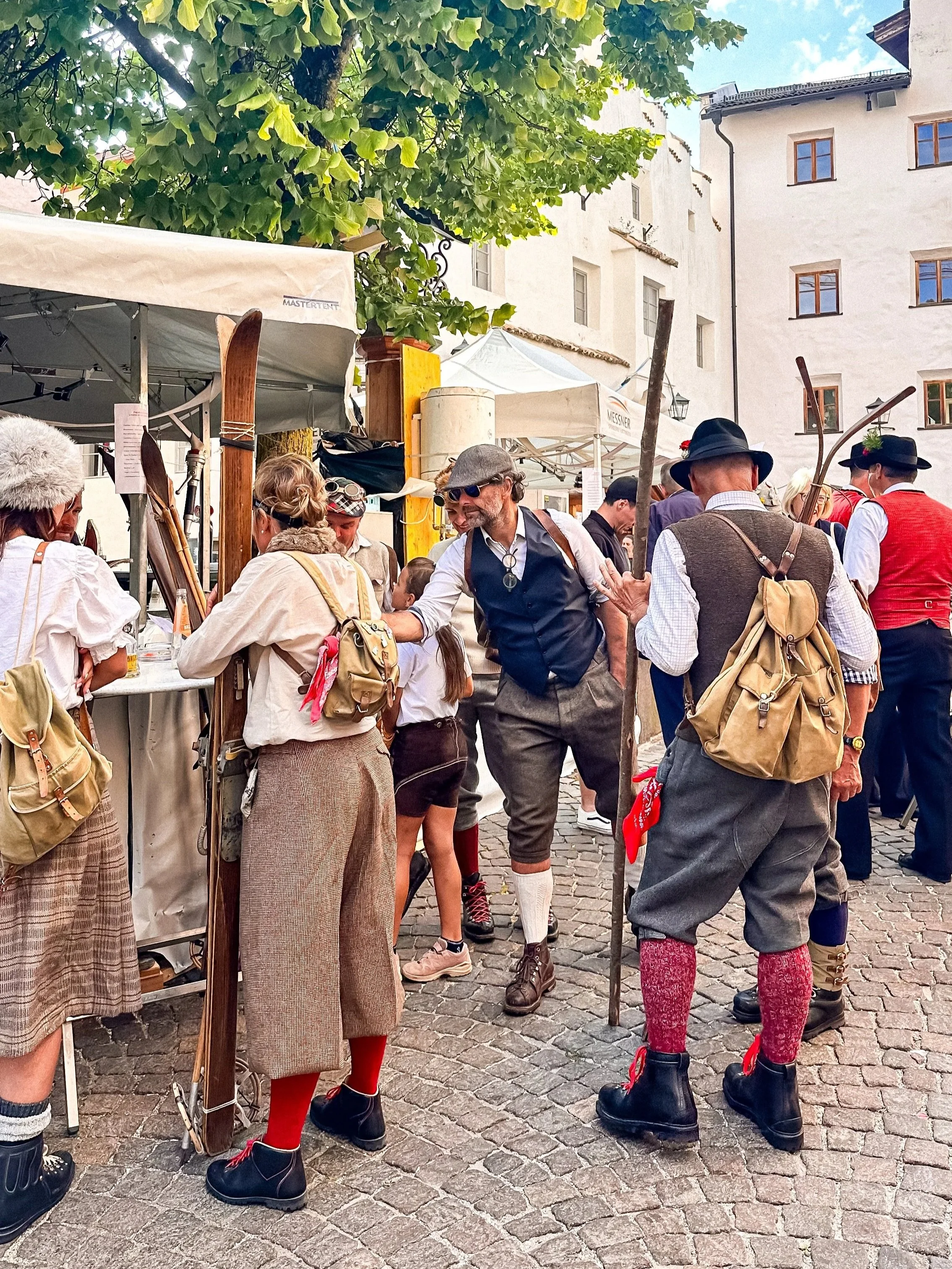
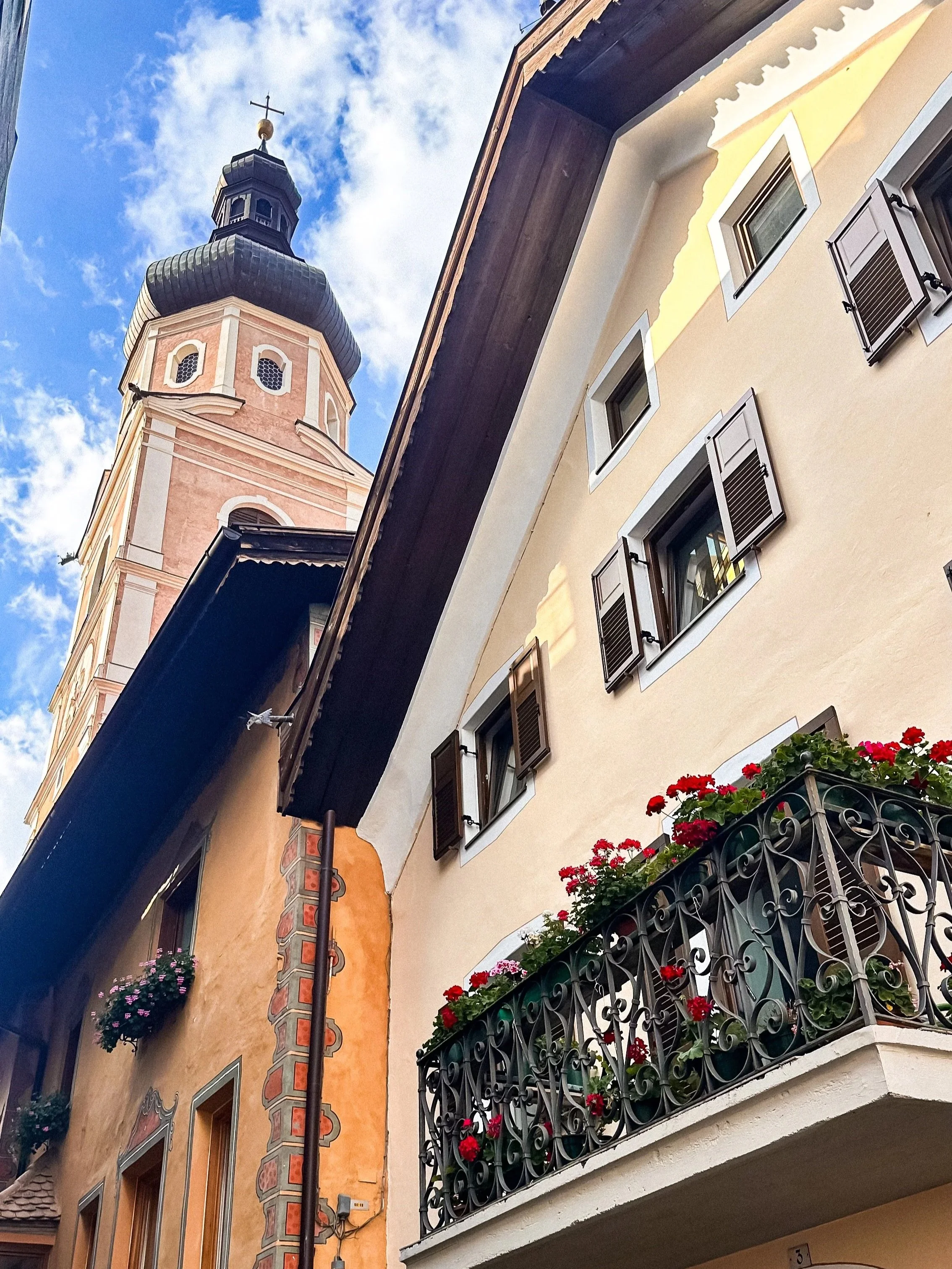
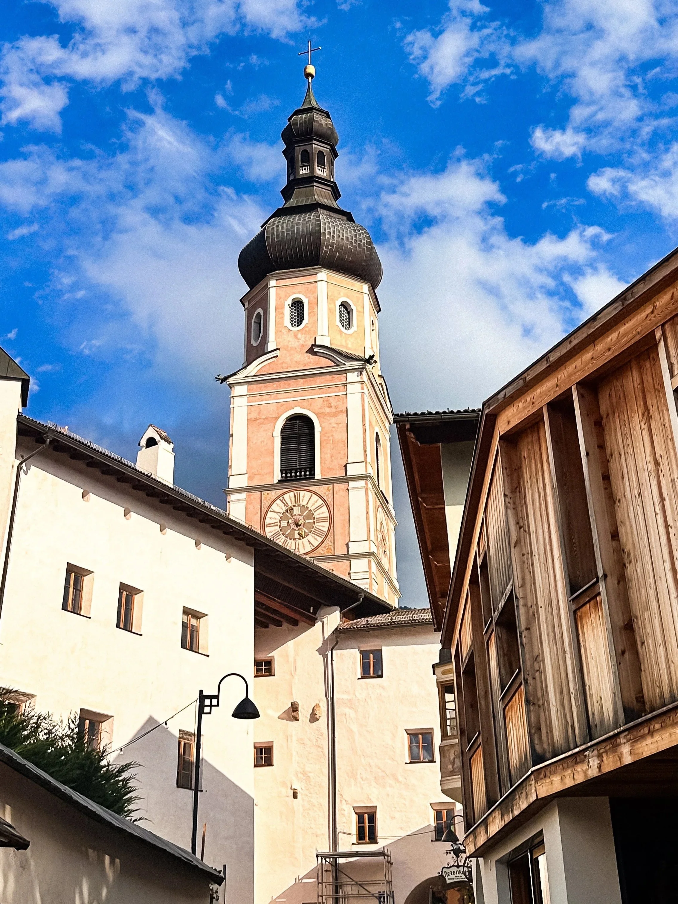
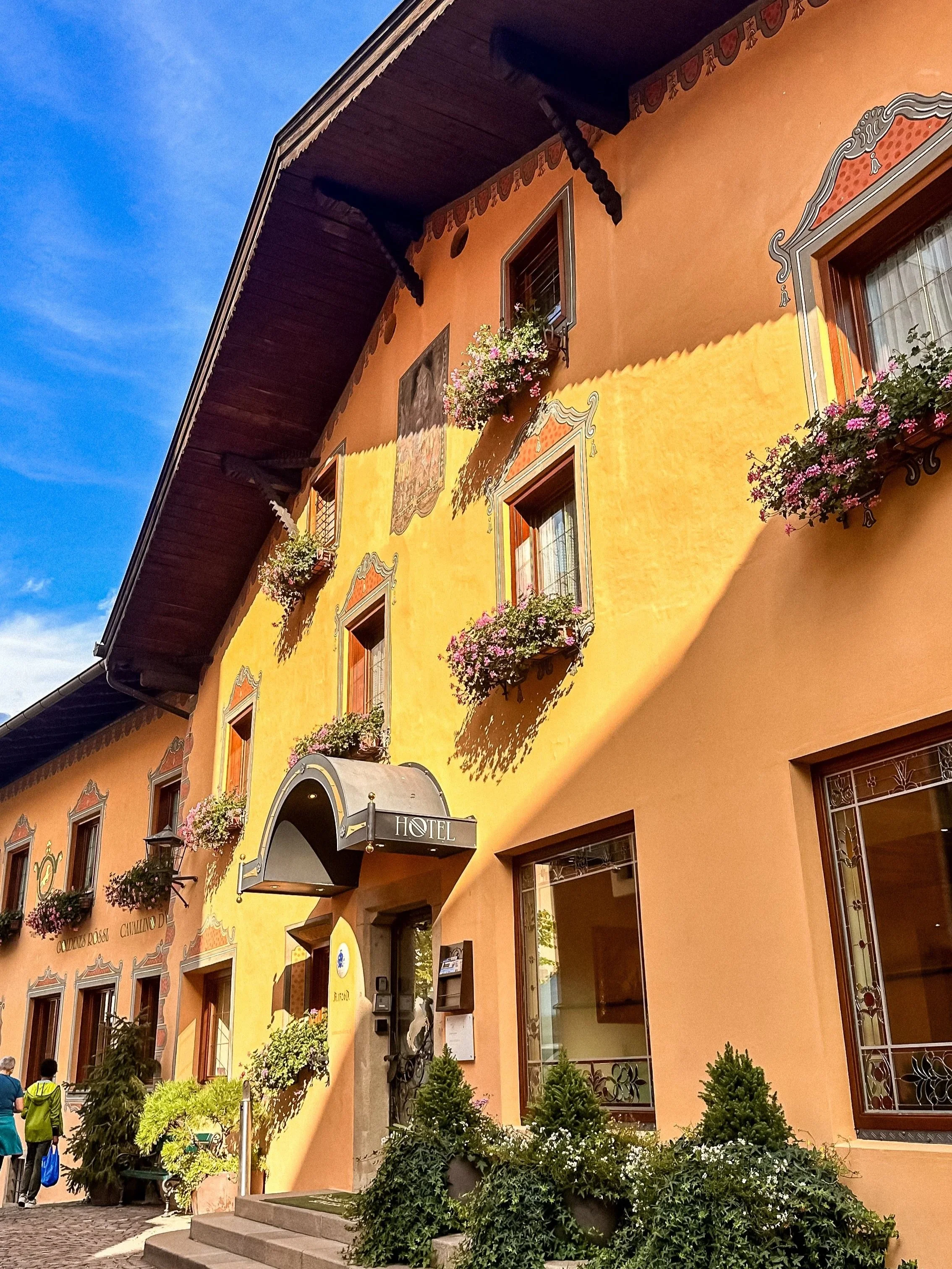
Castelrotto is one of those villages you don’t necessarily plan for, but end up really enjoying.
Located at the foot of the Dolomites, it has a very typical Alpine feel, colorful houses, flower-filled balconies, and a central square dominated by its tall church tower.
It’s quieter than places like Ortisei, and feels more local and relaxed.
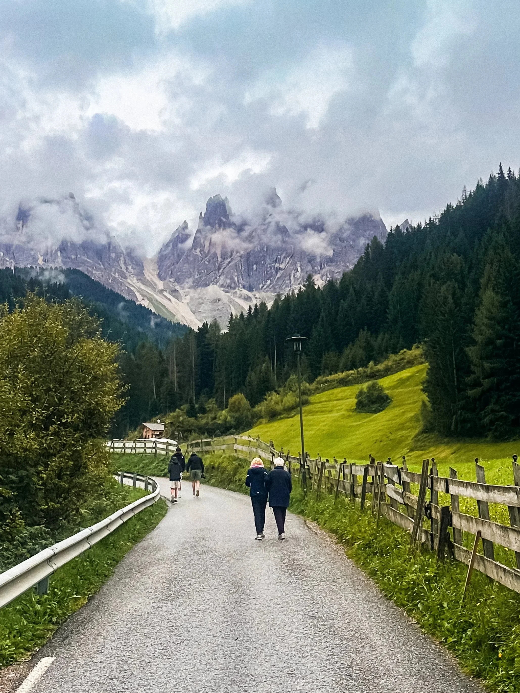
Val di Funes & Puez-Odle
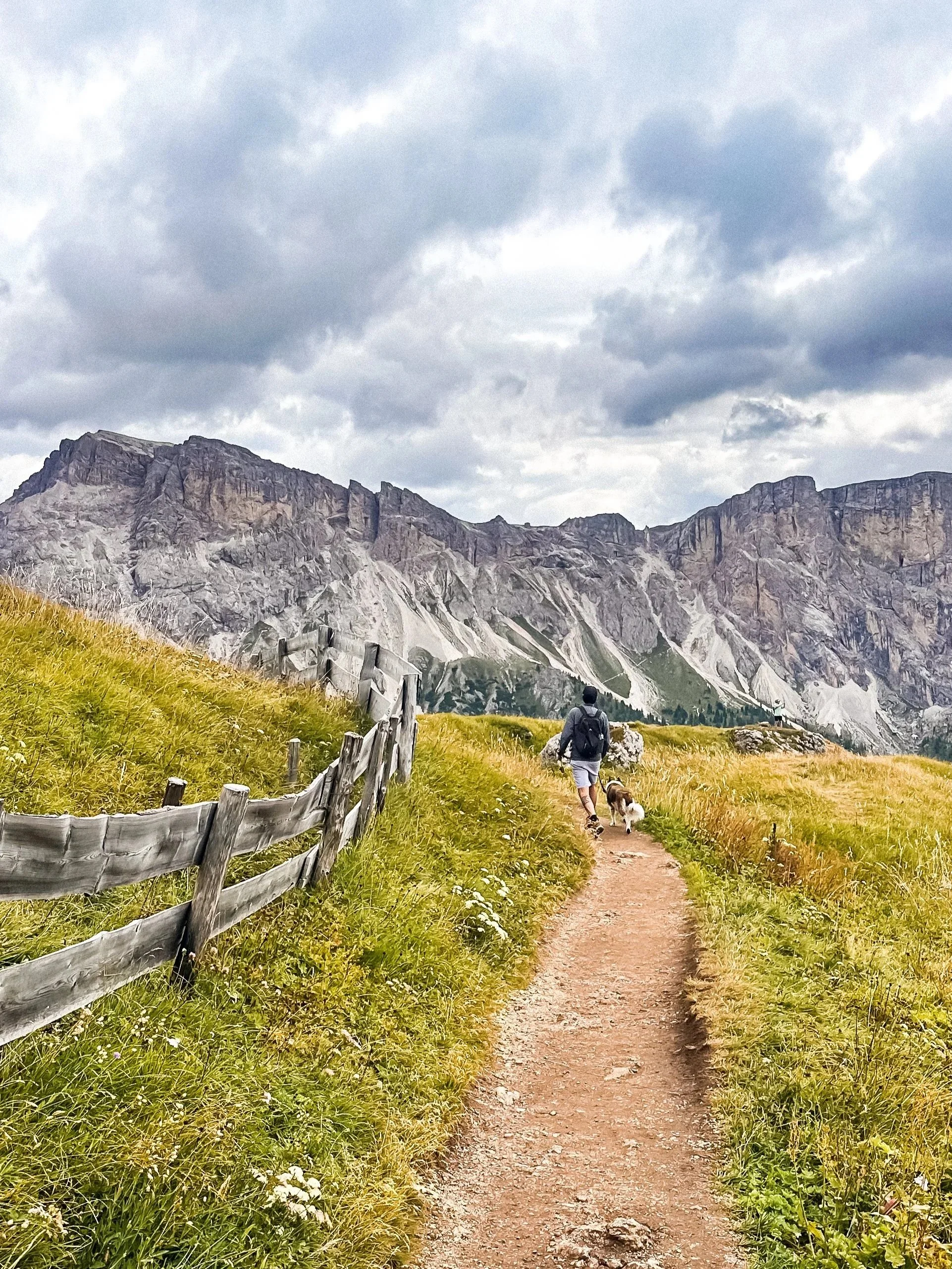
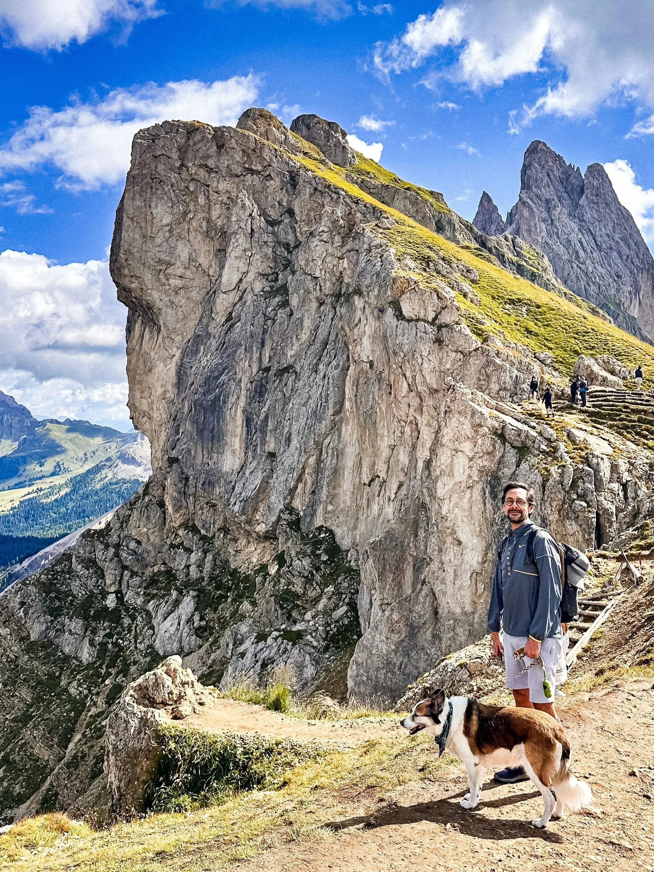
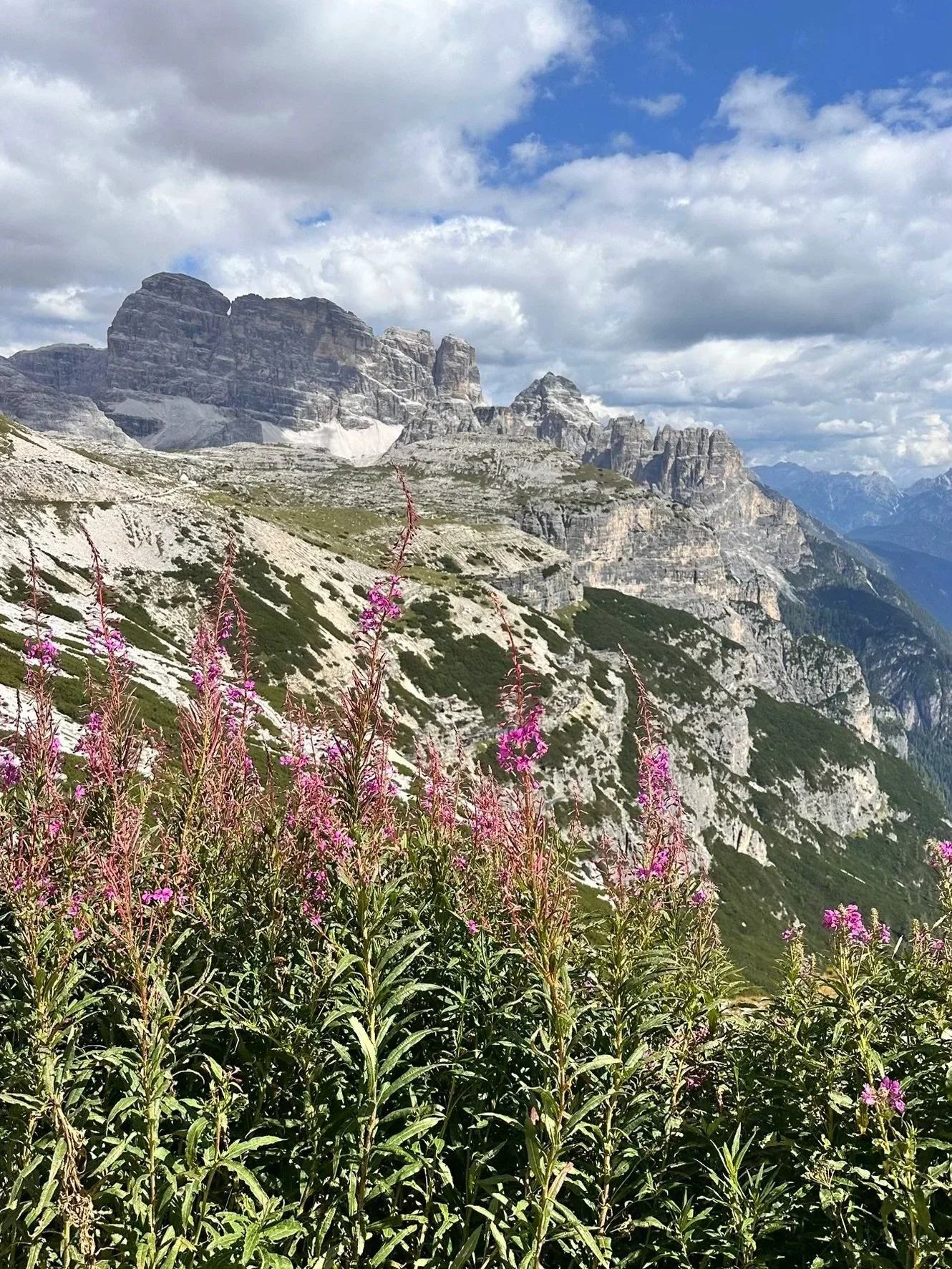
/// Parco Naturale Puez-Odle
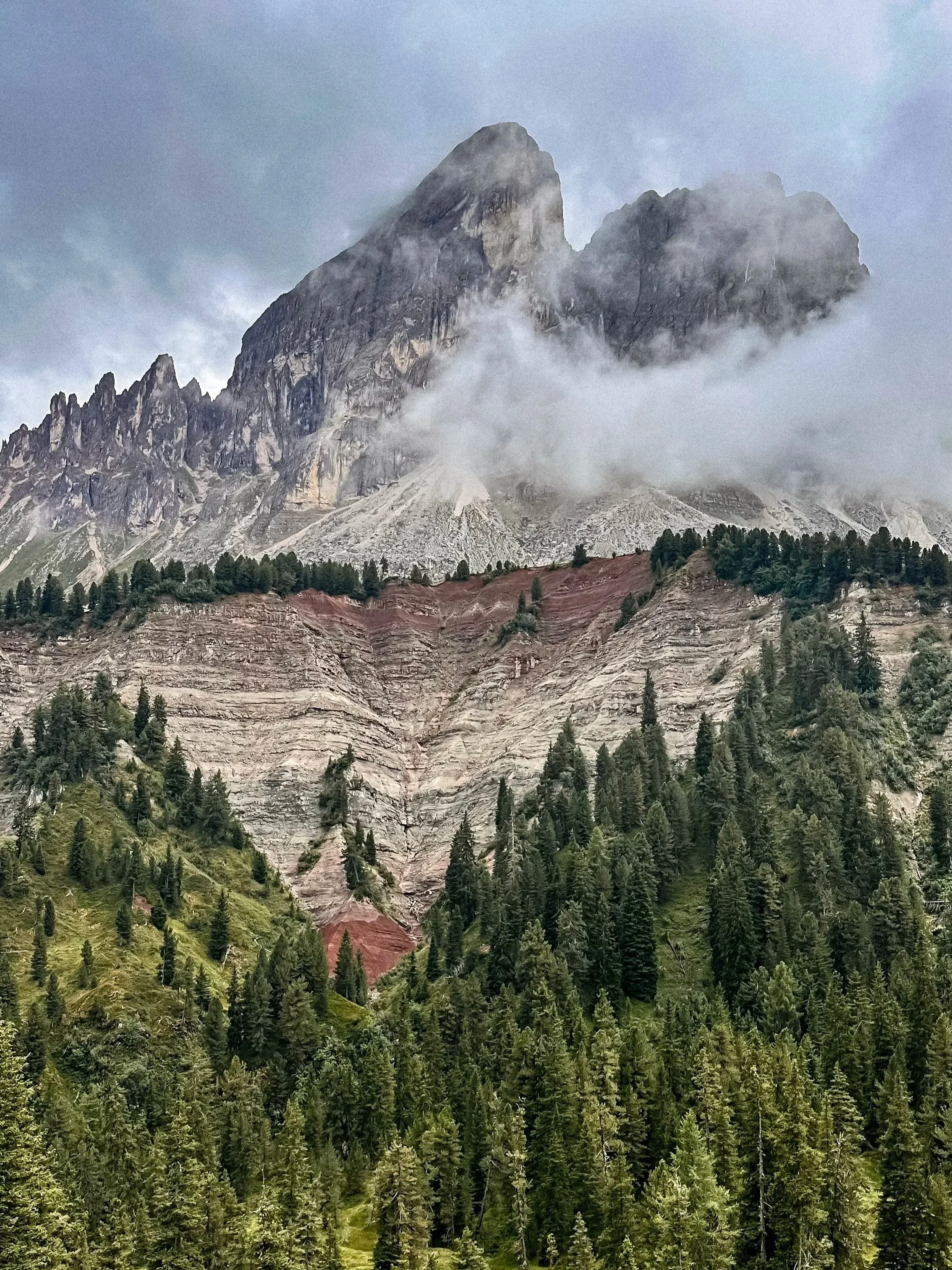
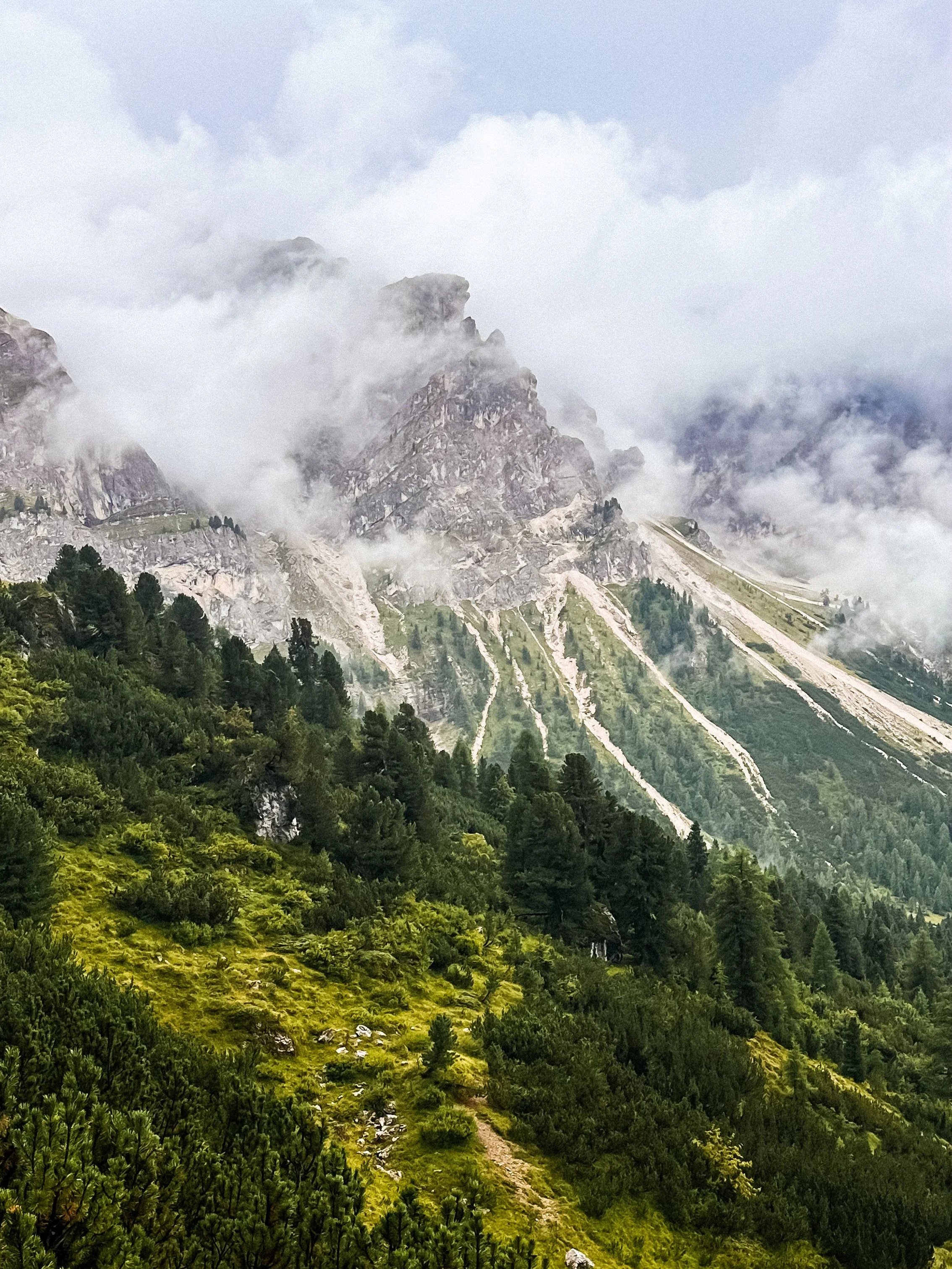
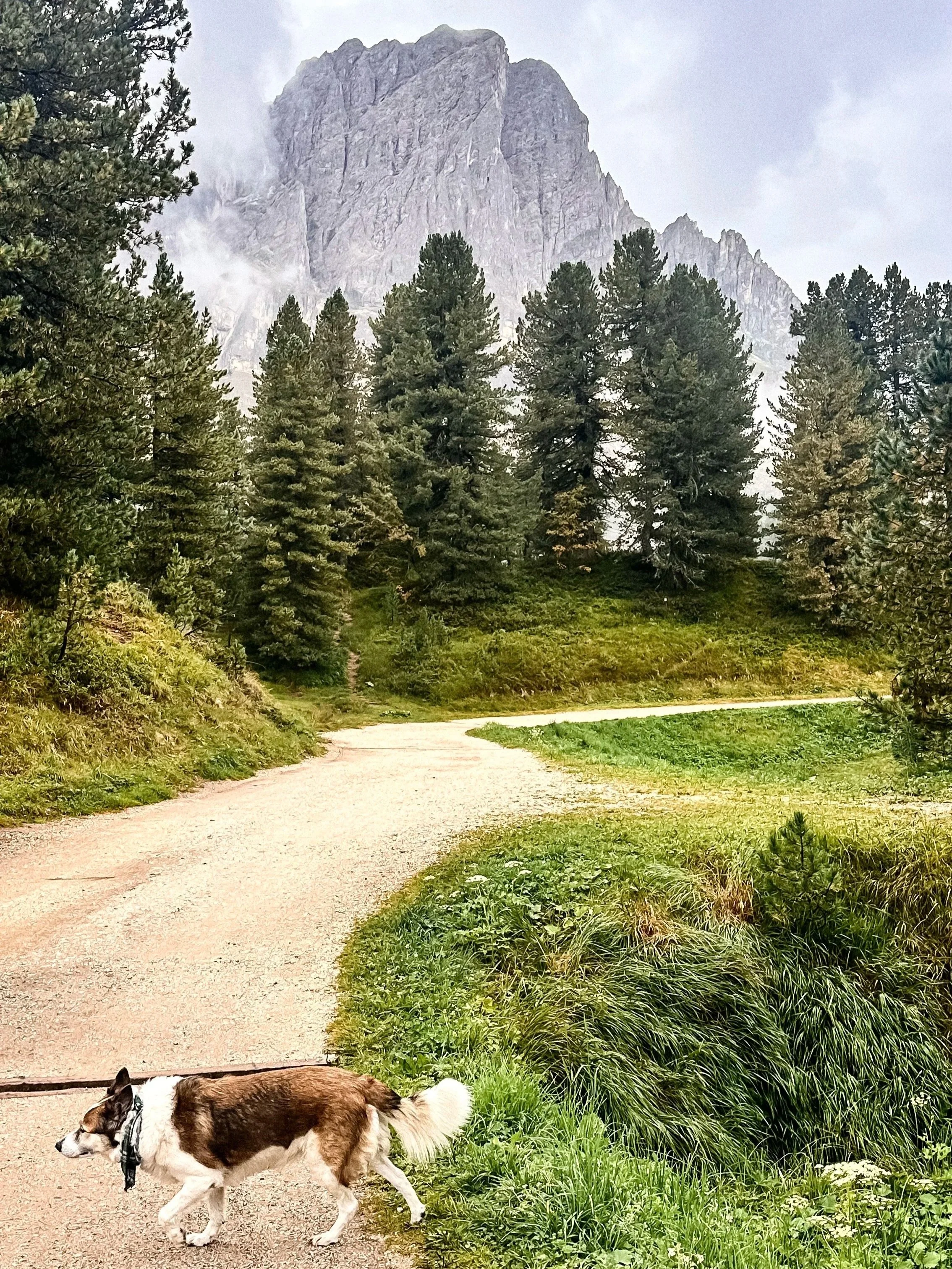
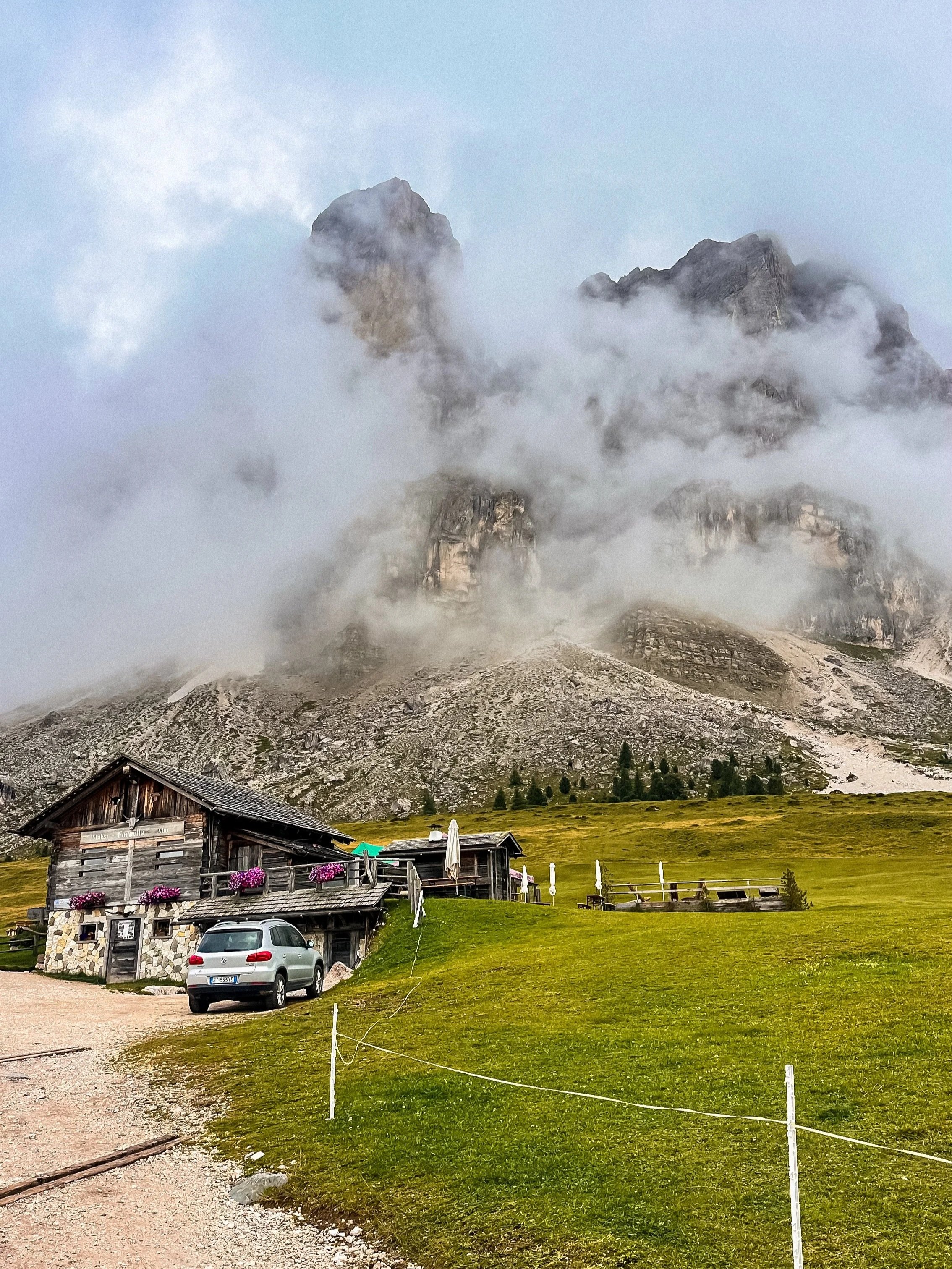
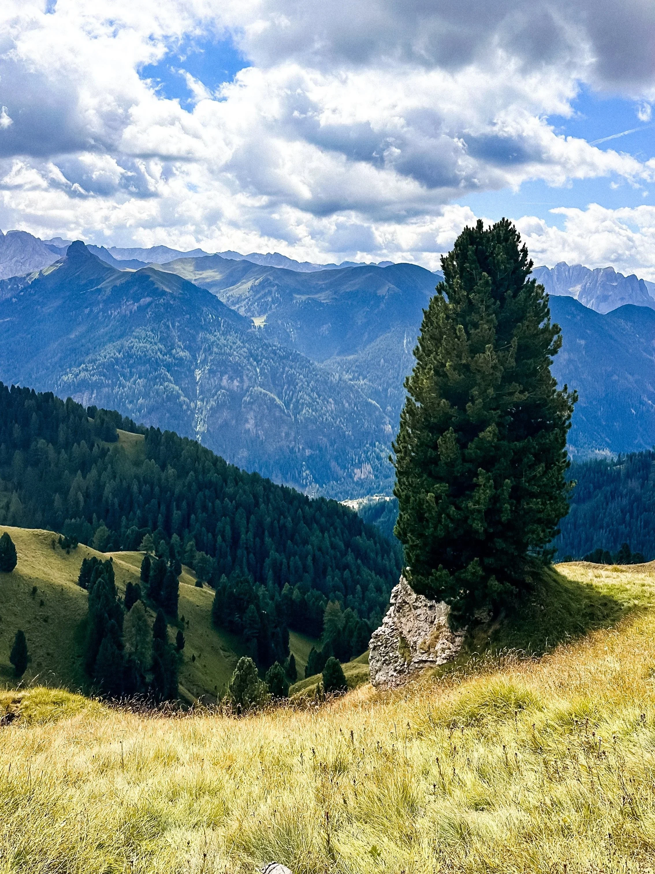
Parco Naturale Puez-Odle offers some of the most varied landscapes in the Dolomites, but this area near Mont de Fornella has a very distinct feel.
Instead of wide open alpine meadows, the scenery here is more layered and textured, with forest in the foreground and dramatic rock formations rising behind. It feels a bit more raw and less “postcard”, especially when the clouds move through the mountains.
When I went, the peaks were partially covered by fog, which made the whole landscape feel more atmospheric and constantly changing.
Access & parking
Access is via Passo Gardena. Small parking areas along the road. Walk to Mont de Fornella is a easy and short walk.
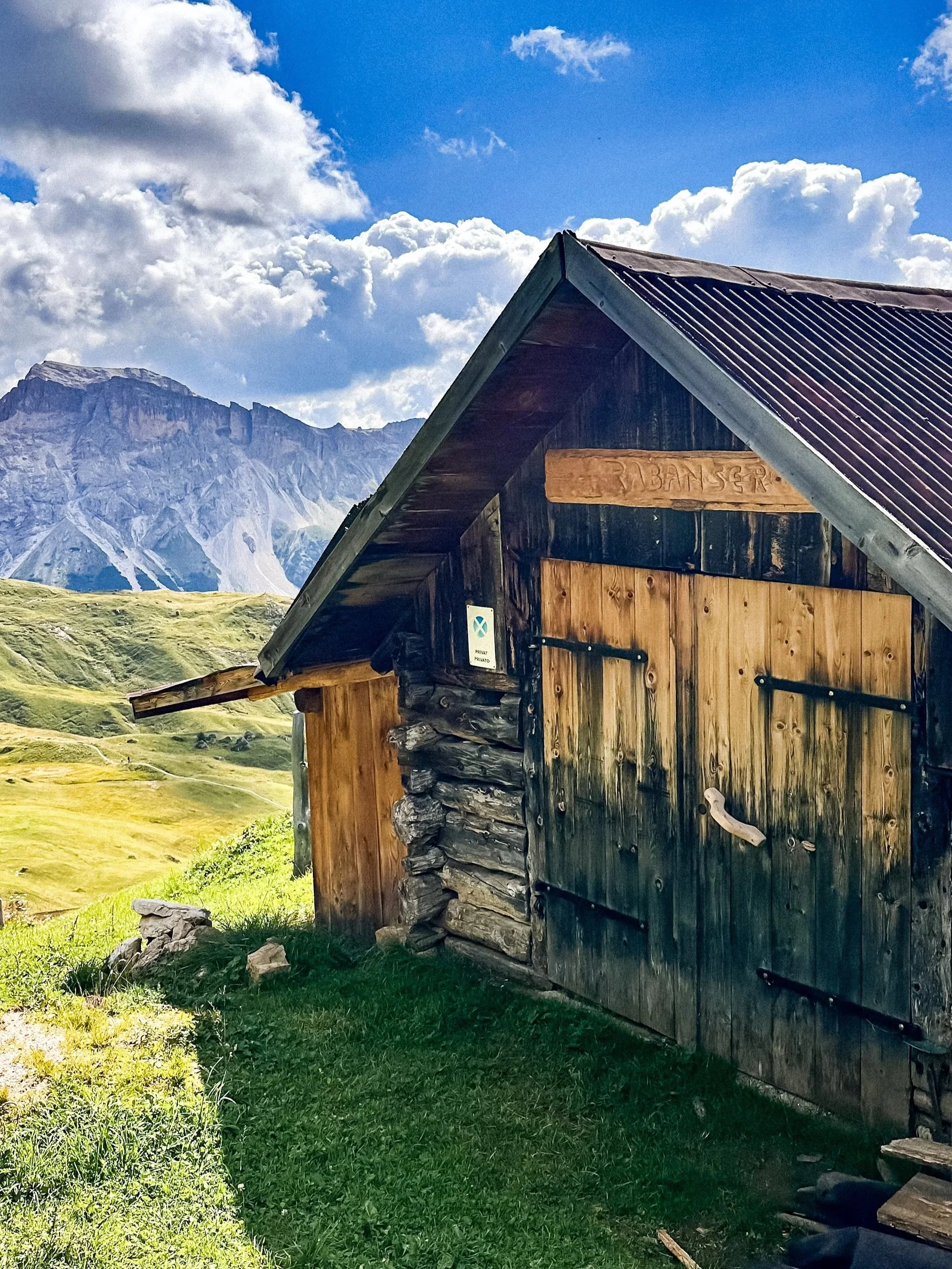
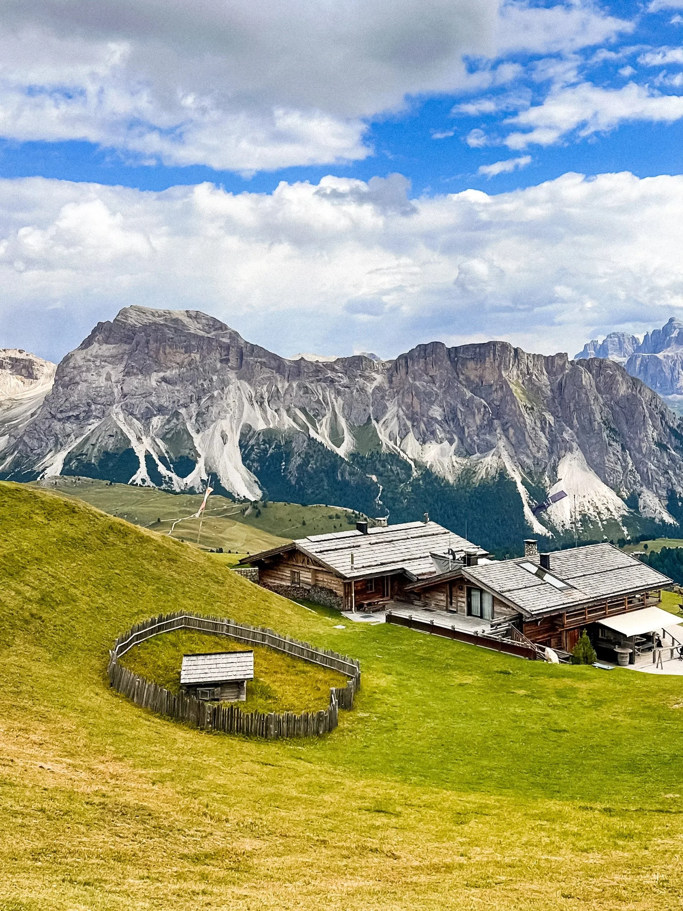
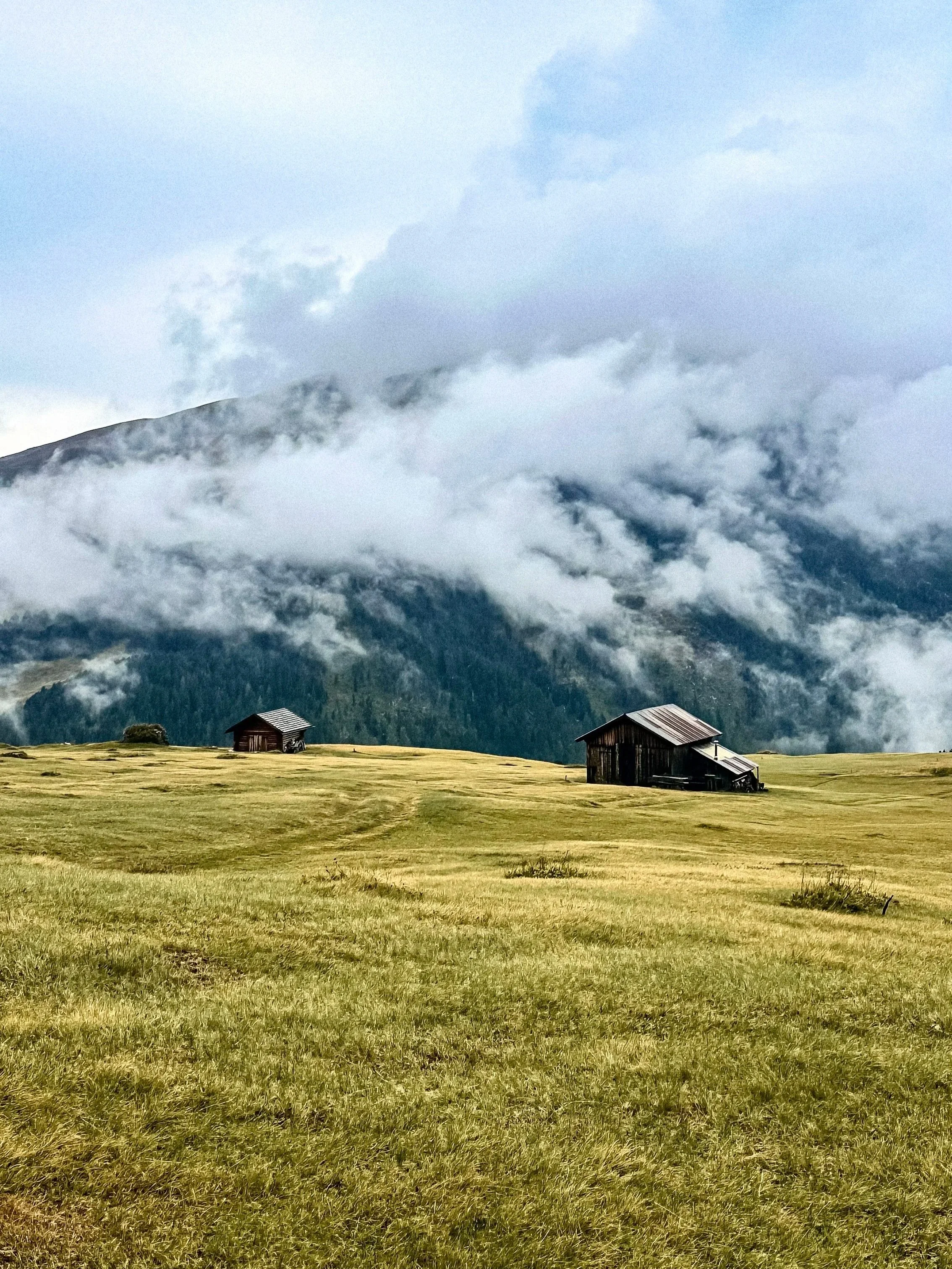
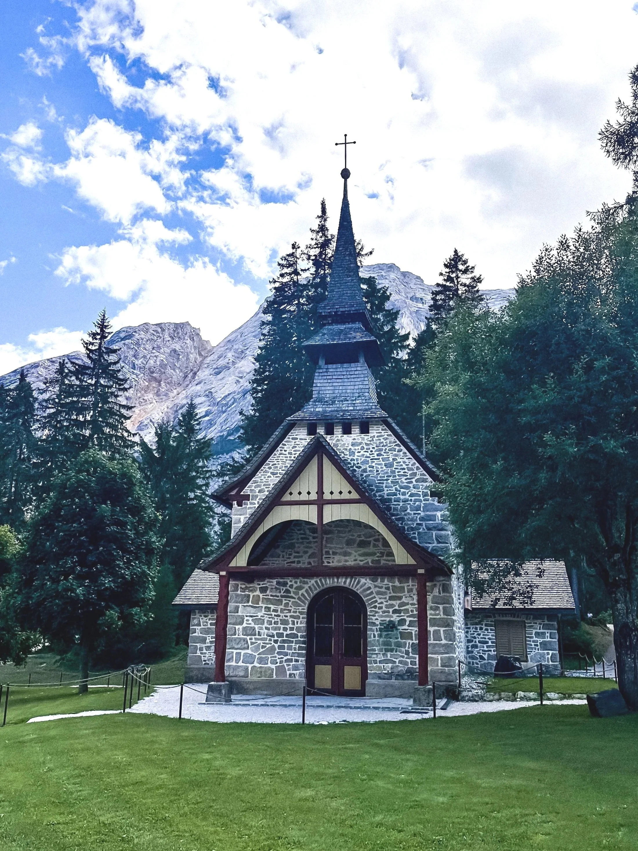
Rifugio stop: Mont de Fornella
A simple mountain hut with a beautiful open view over the landscape, perfect for a short stop, a drink, or just enjoying the scenery.
Practical tips
This area can feel quite cold and windy, even in summer
Fog moves quickly and can completely change visibility
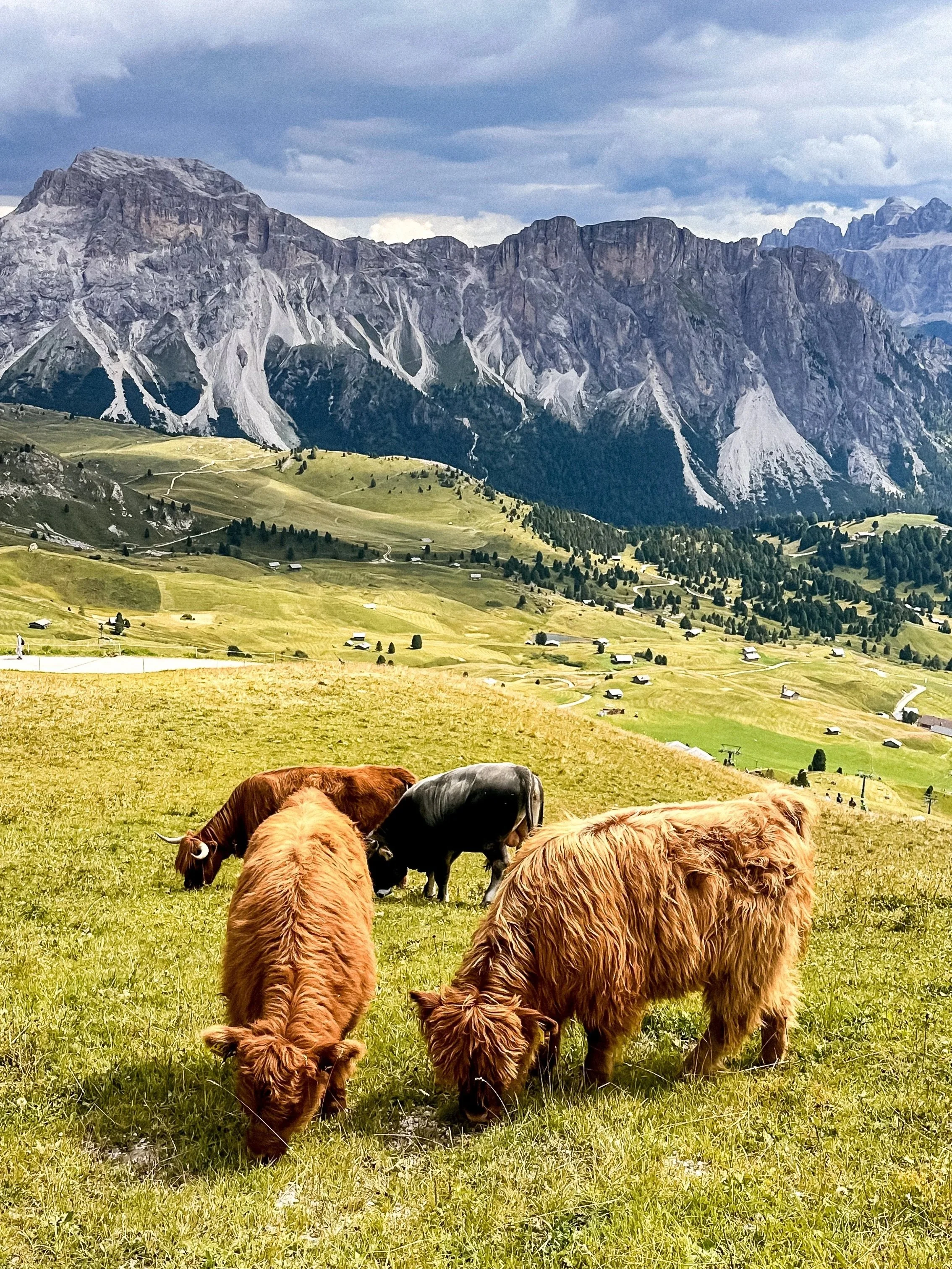
/// Val di Funes
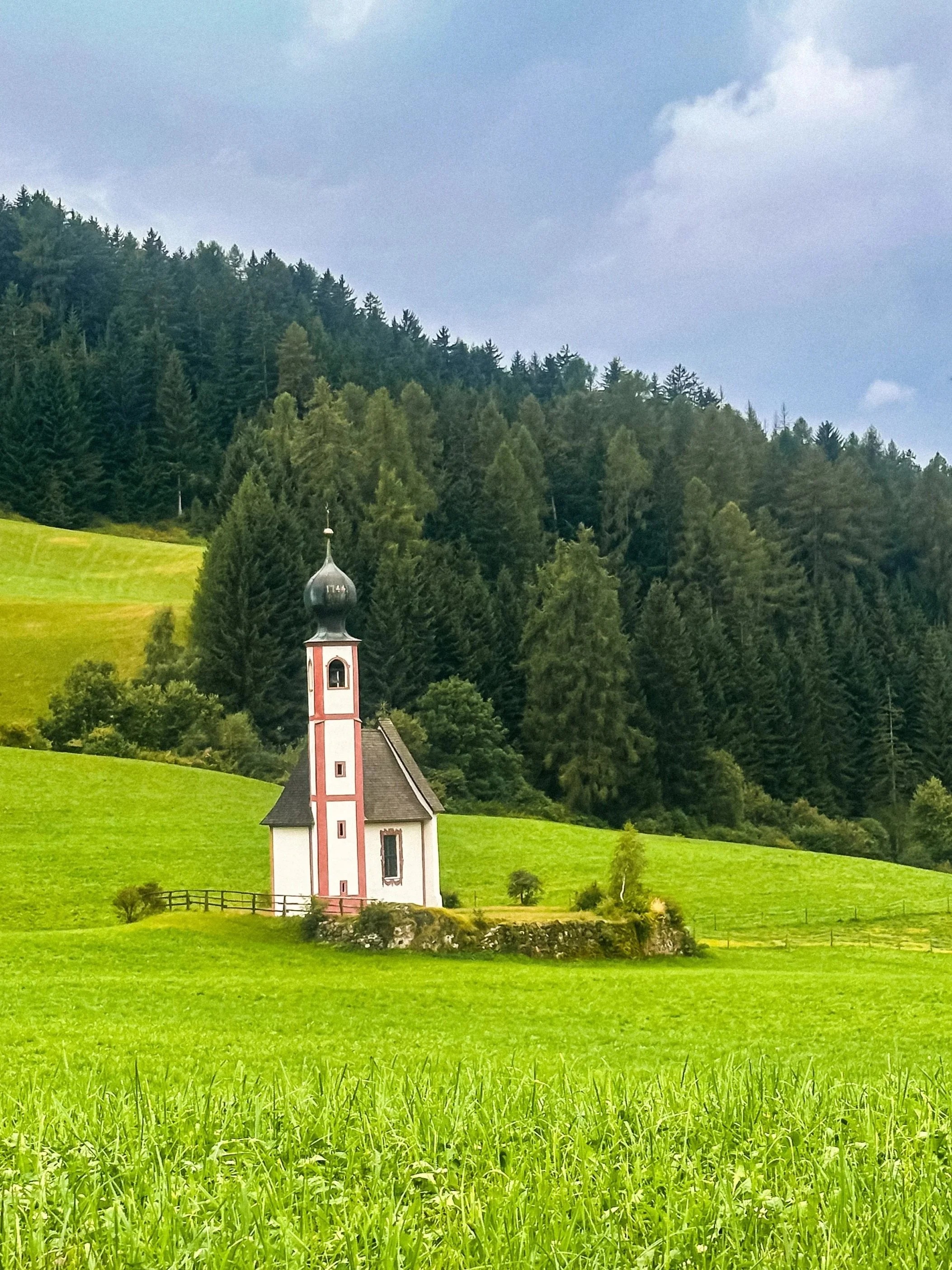
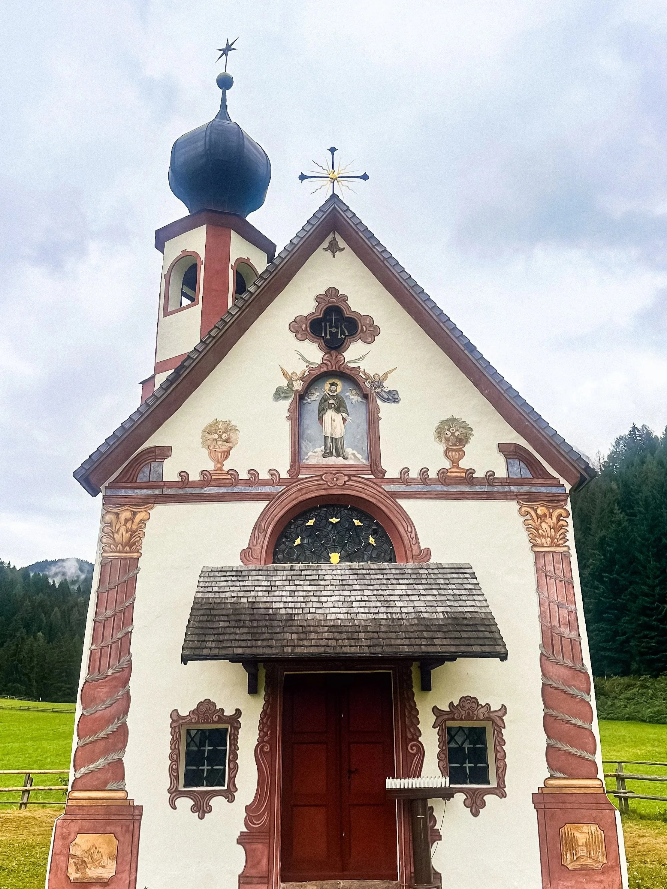
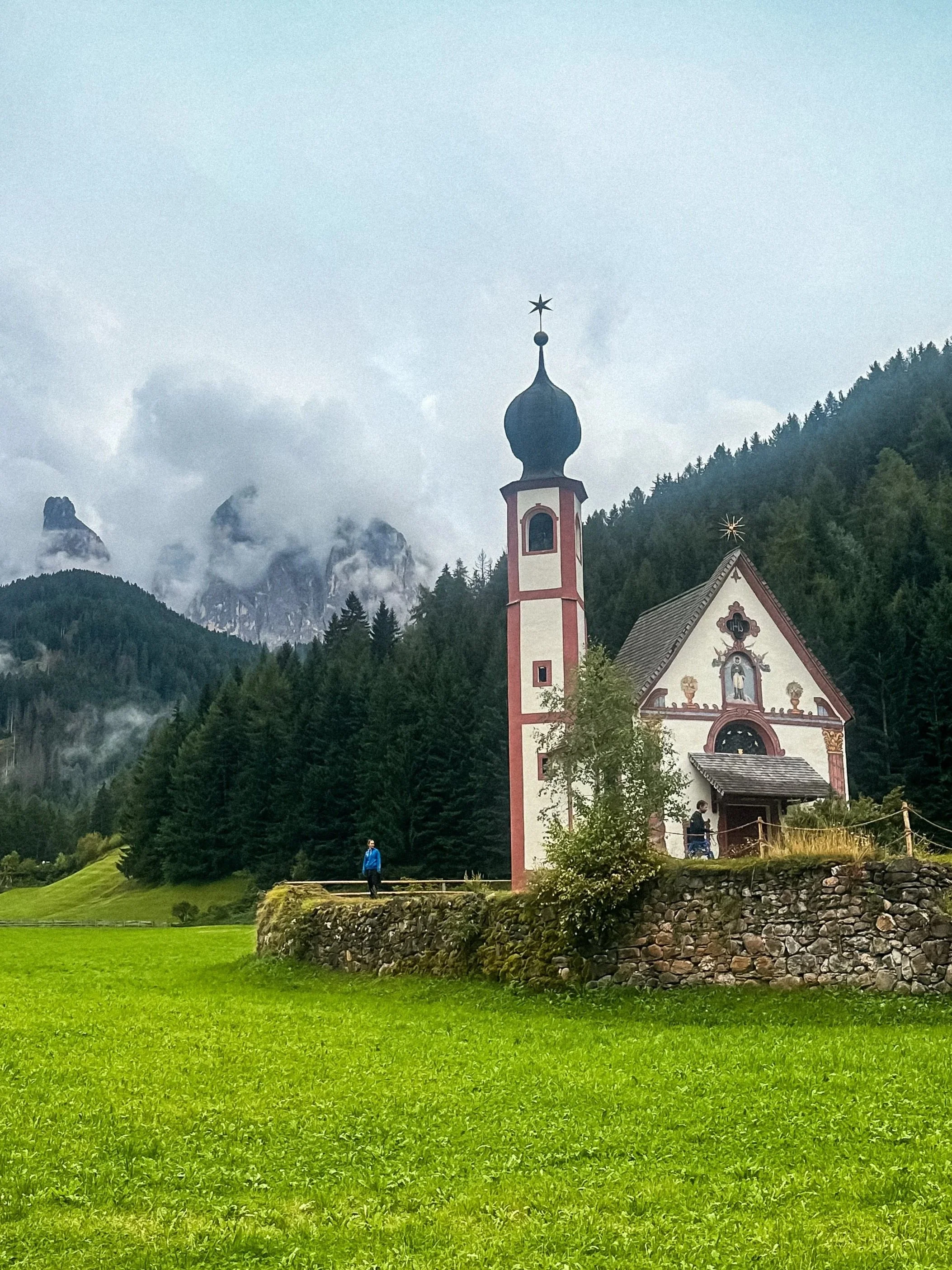
Val di Funes is less about hiking and more about perspective. This is where you find the famous postcard views of the Dolomites, small churches set in open fields, with the Odle peaks behind.
It feels quieter, more rural, and slower than other areas.
Access & parking
Designated parking areas near viewpoints (Santa Maddalena viewpoint parking & Paid access near San Giovanni in Ranui (private field).
Respect private land rules, especially for San Giovanni.
Main stops
Santa Maddalena church viewpoint
San Giovanni in Ranui (iconic small church)
Eastern Dolomites
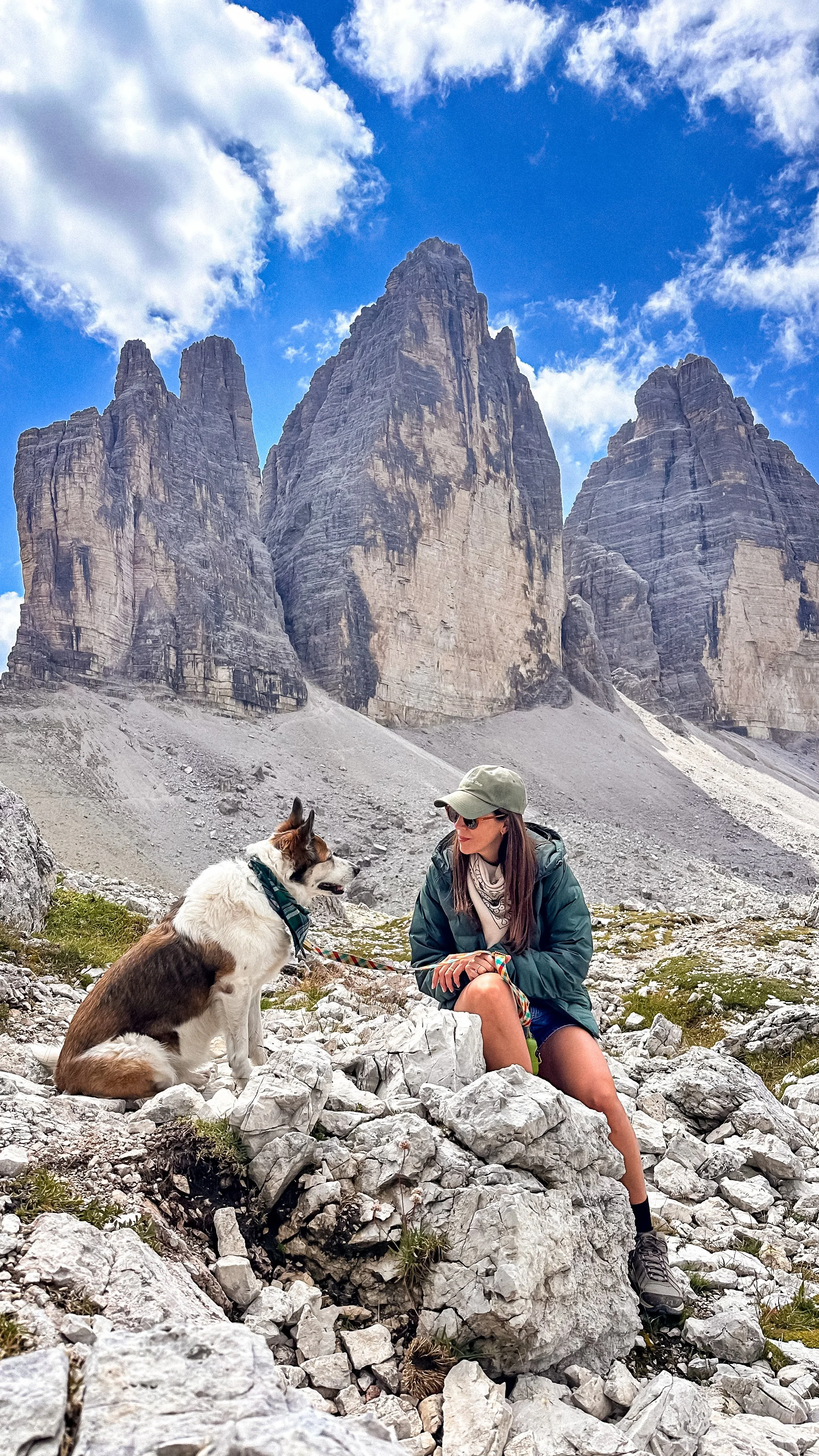
/// Tre Cime di Lavaredo
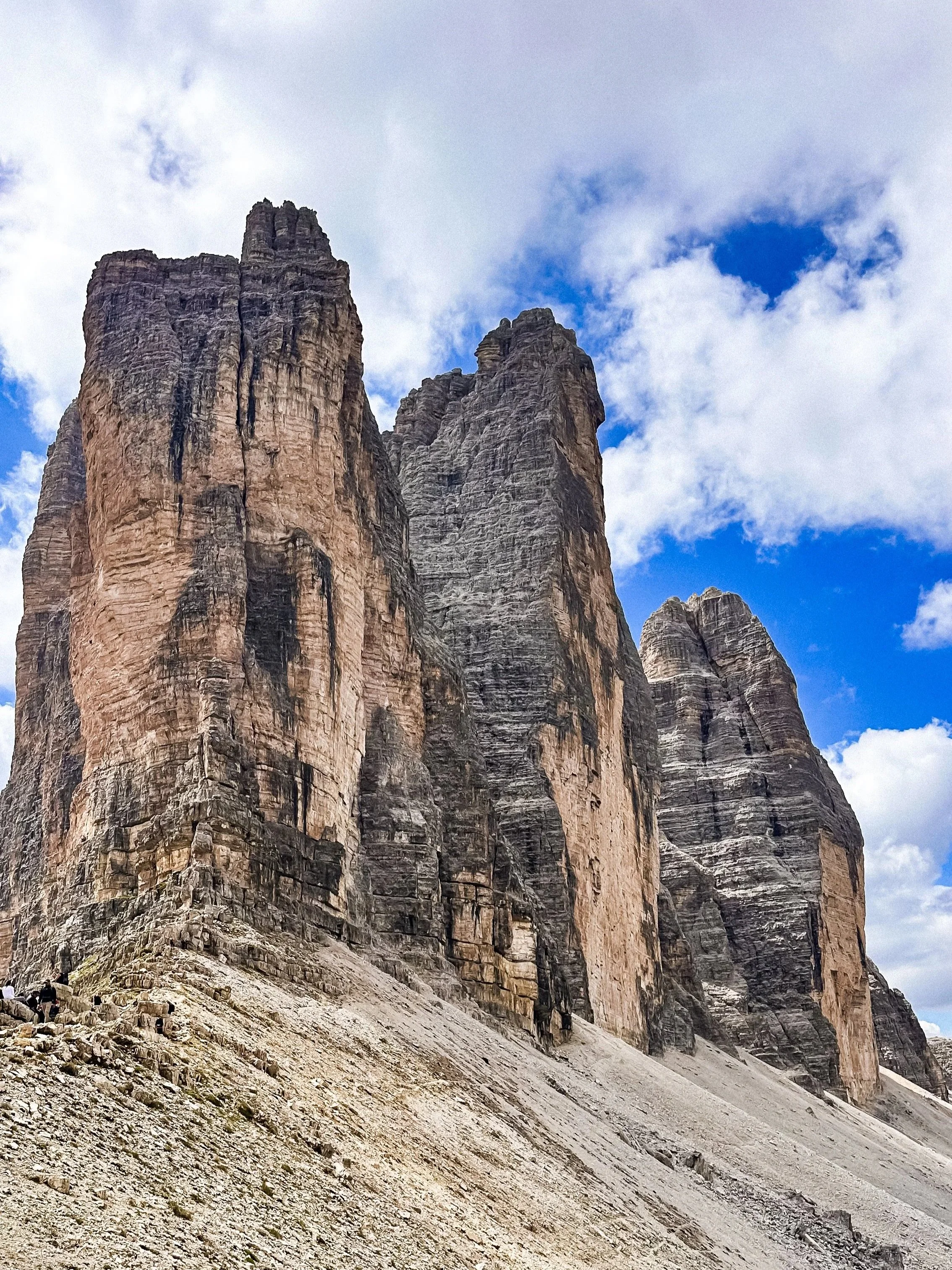
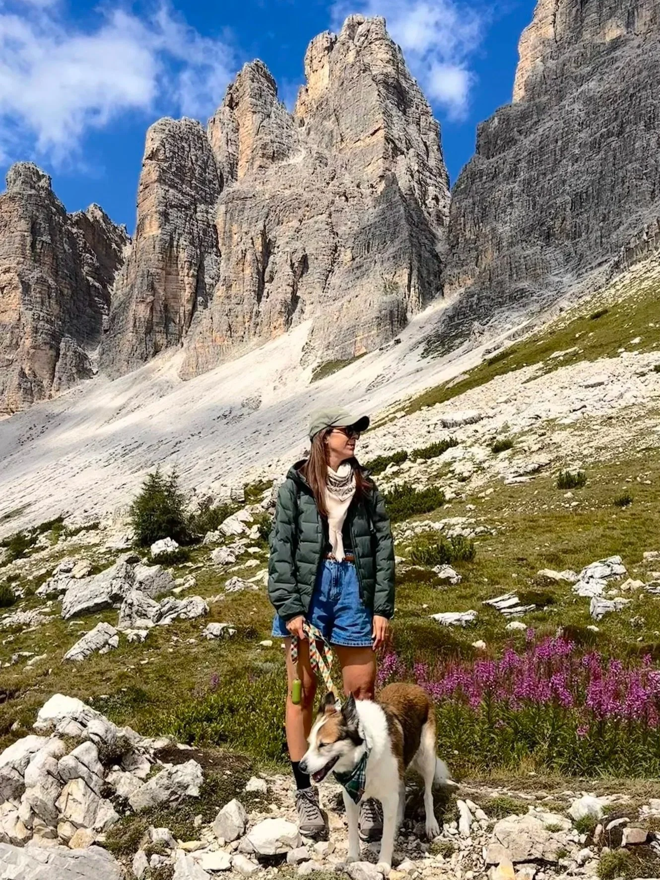
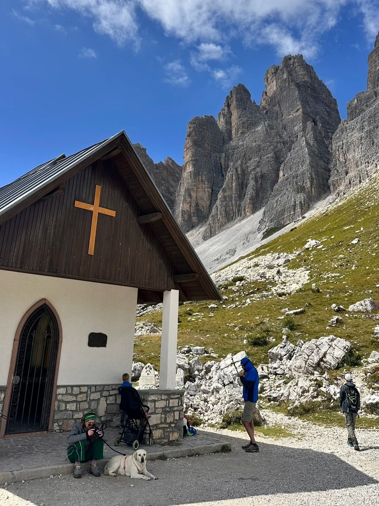
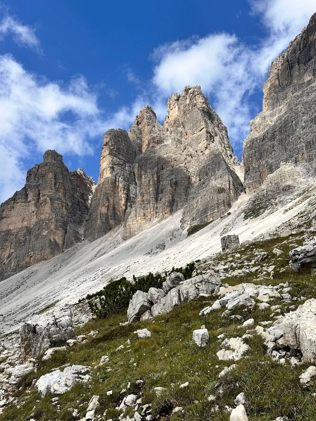
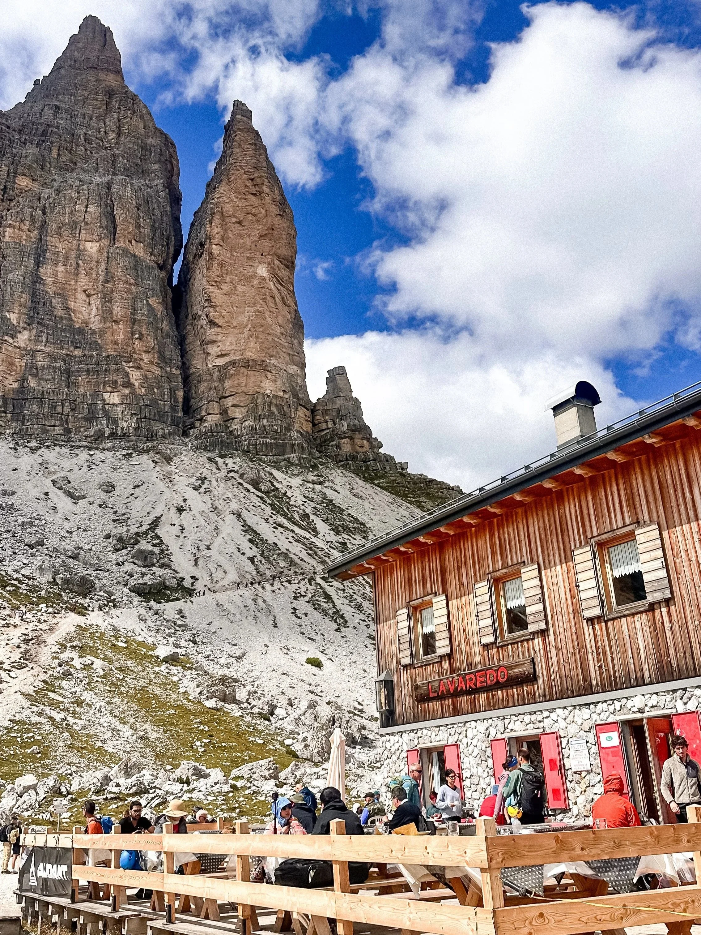
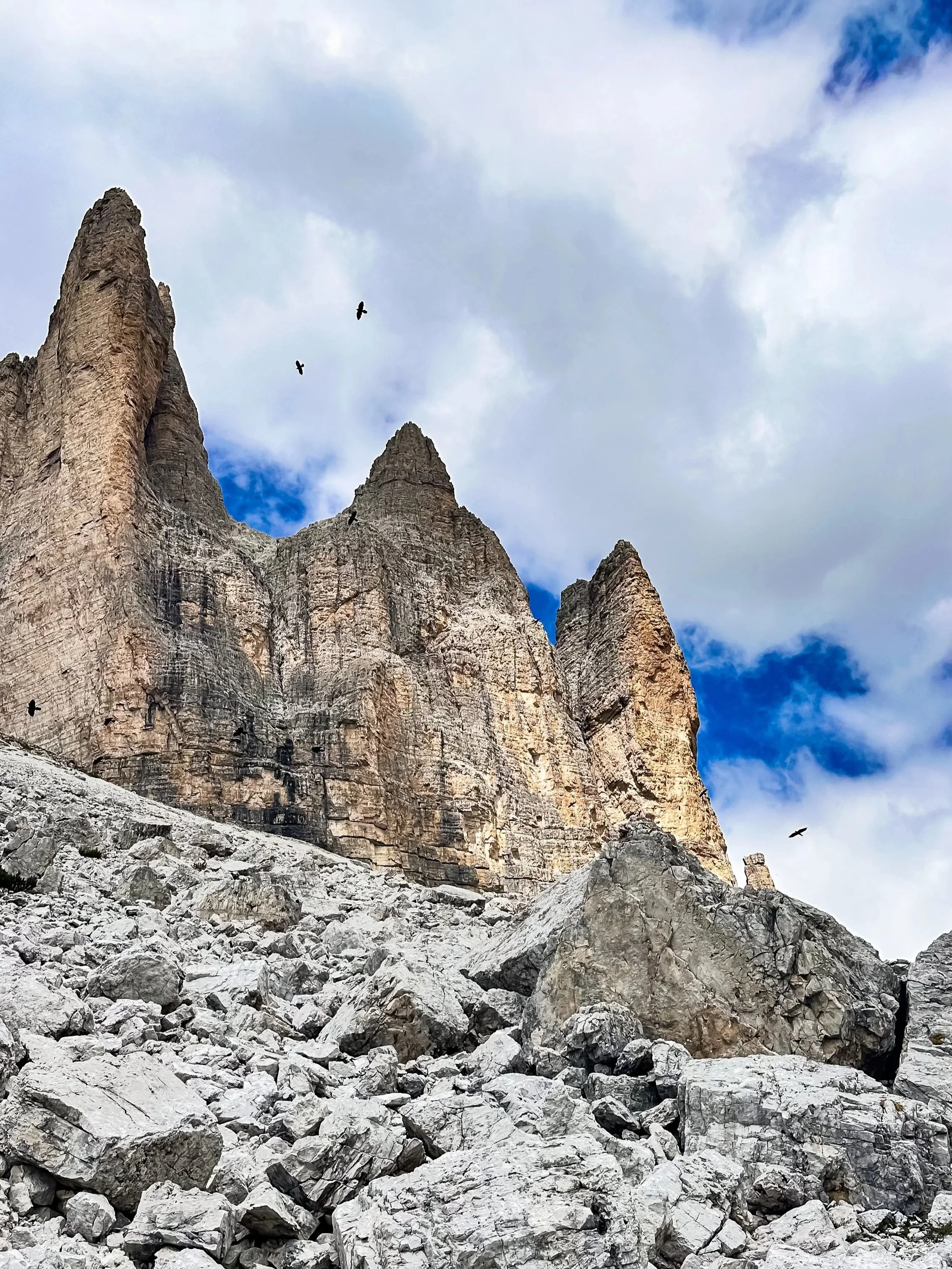
Tre Cime di Lavaredo are one of the most iconic landscapes in the Dolomites.
The three peaks rise almost vertically, creating a very graphic, recognizable silhouette. But beyond the view, what makes this area special is the sense of scale and openness once you start walking around them.
There’s also a layer of history here. This was part of the frontline during World War I, and you’ll still find remains of old military paths and shelters along the trails.
Access & parking
You reach the area via a toll road up to Rifugio Auronzo.
If you’re coming during high season I highly recommend to e-book in advance. The paid parking is limited and fills up quickly in summer (around €30 per car). Best strategy: arrive before 8:30–9:30am
Alternative: shuttle buses from lower parking areas (more time, but less stress).
Main trails:
Tre Cime loop (most common)
~9 km, 3–4 hours
Circular trail around the peaks, relatively easy but long
The best way to fully experience the landscape
Short walk to Rifugio Lavaredo
~1.7 km
Good option if you want something quicker
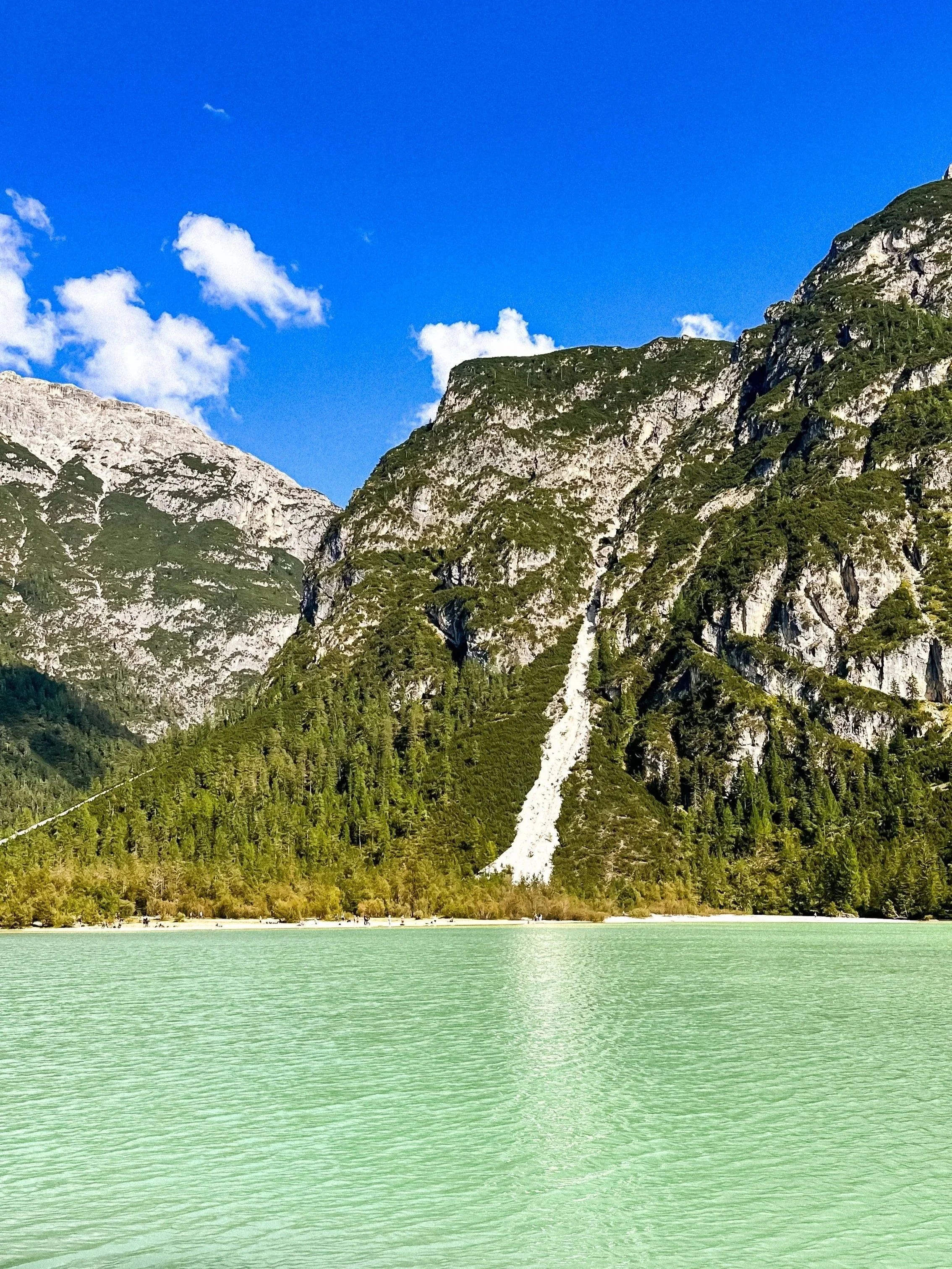
/// Lago di Braies
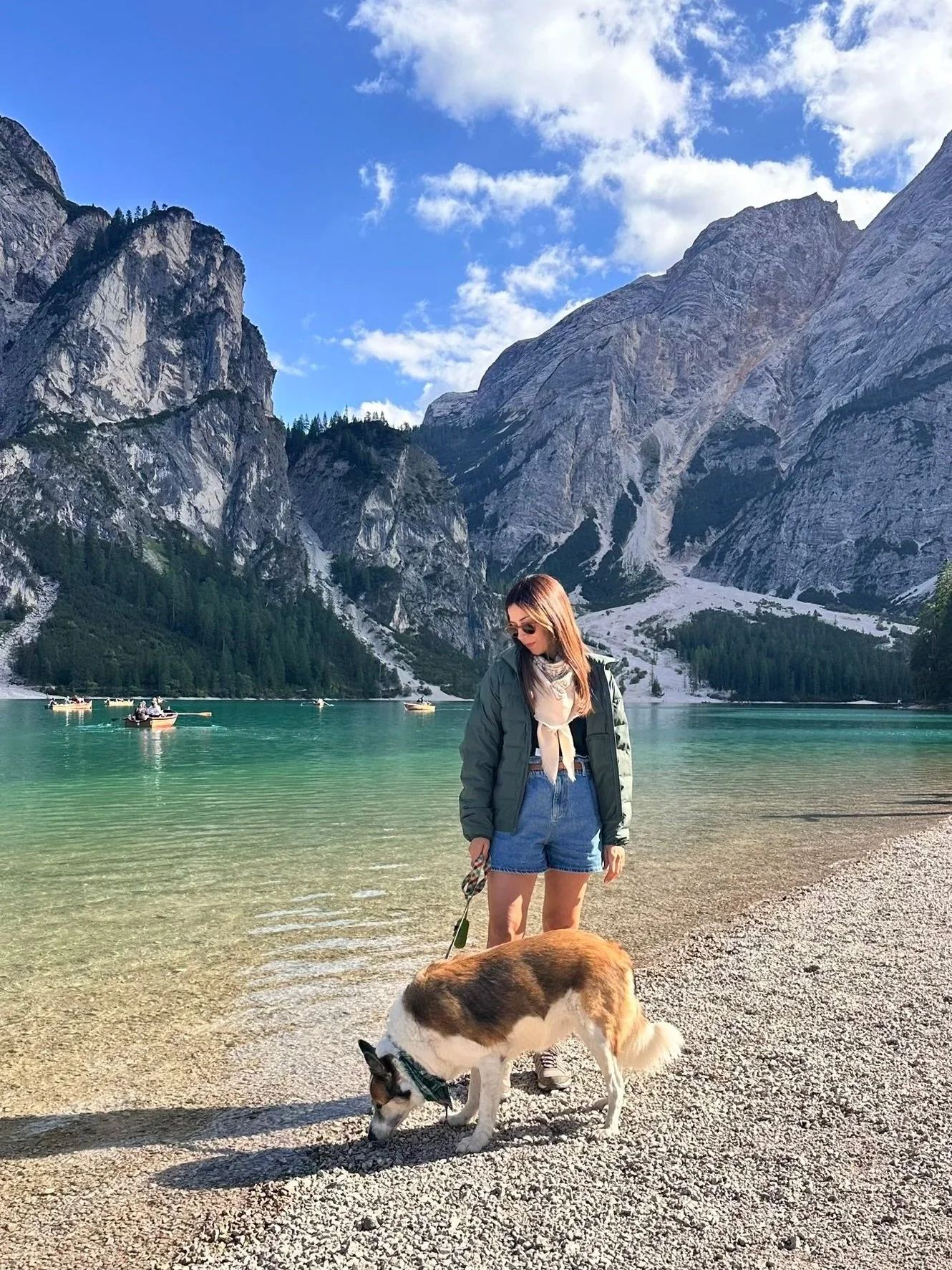
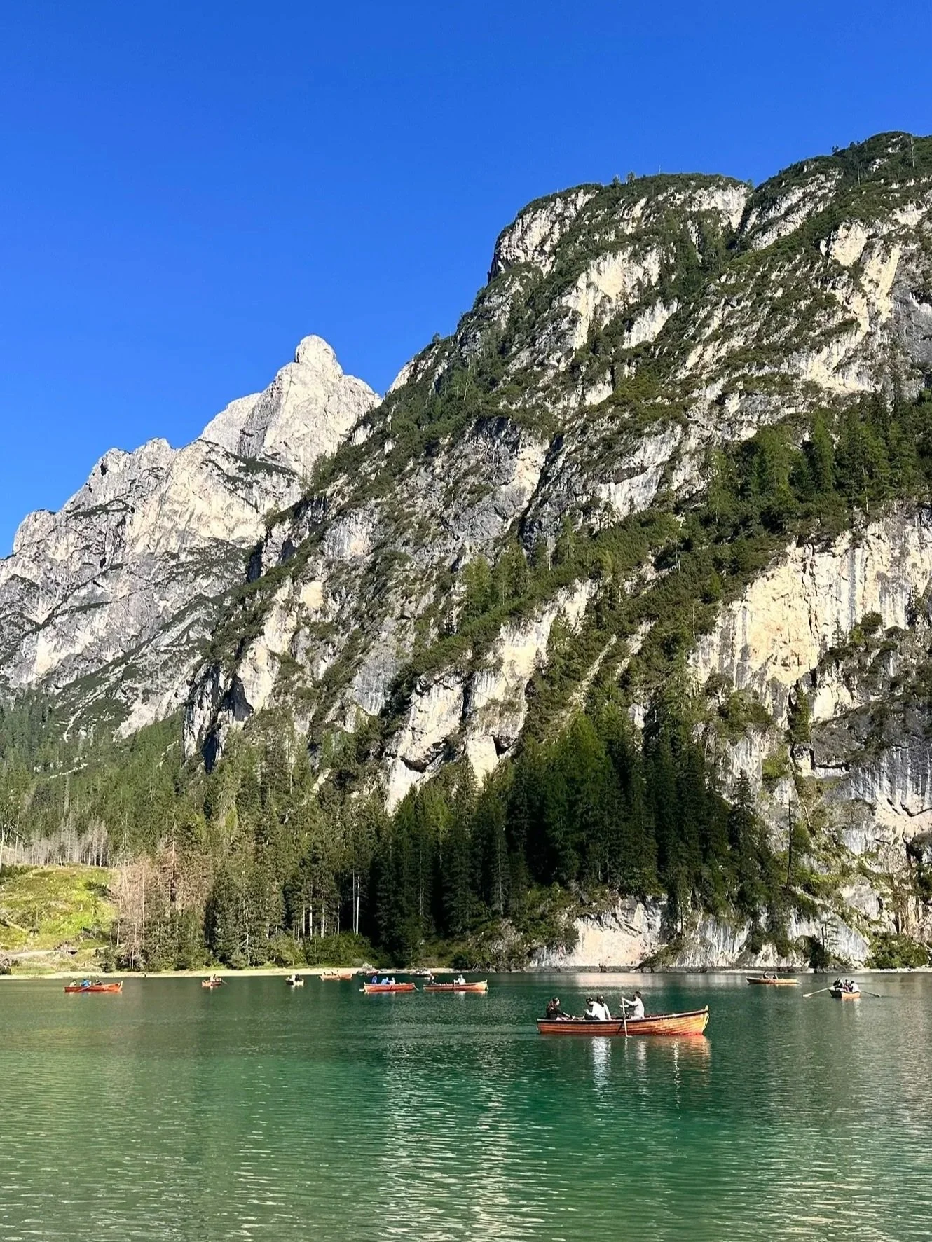
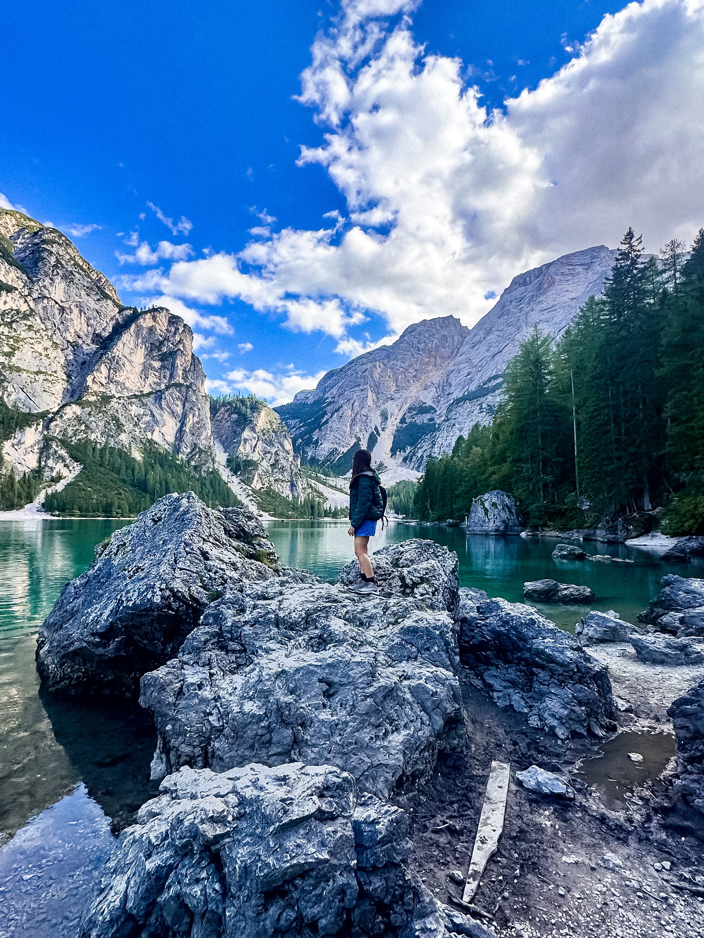
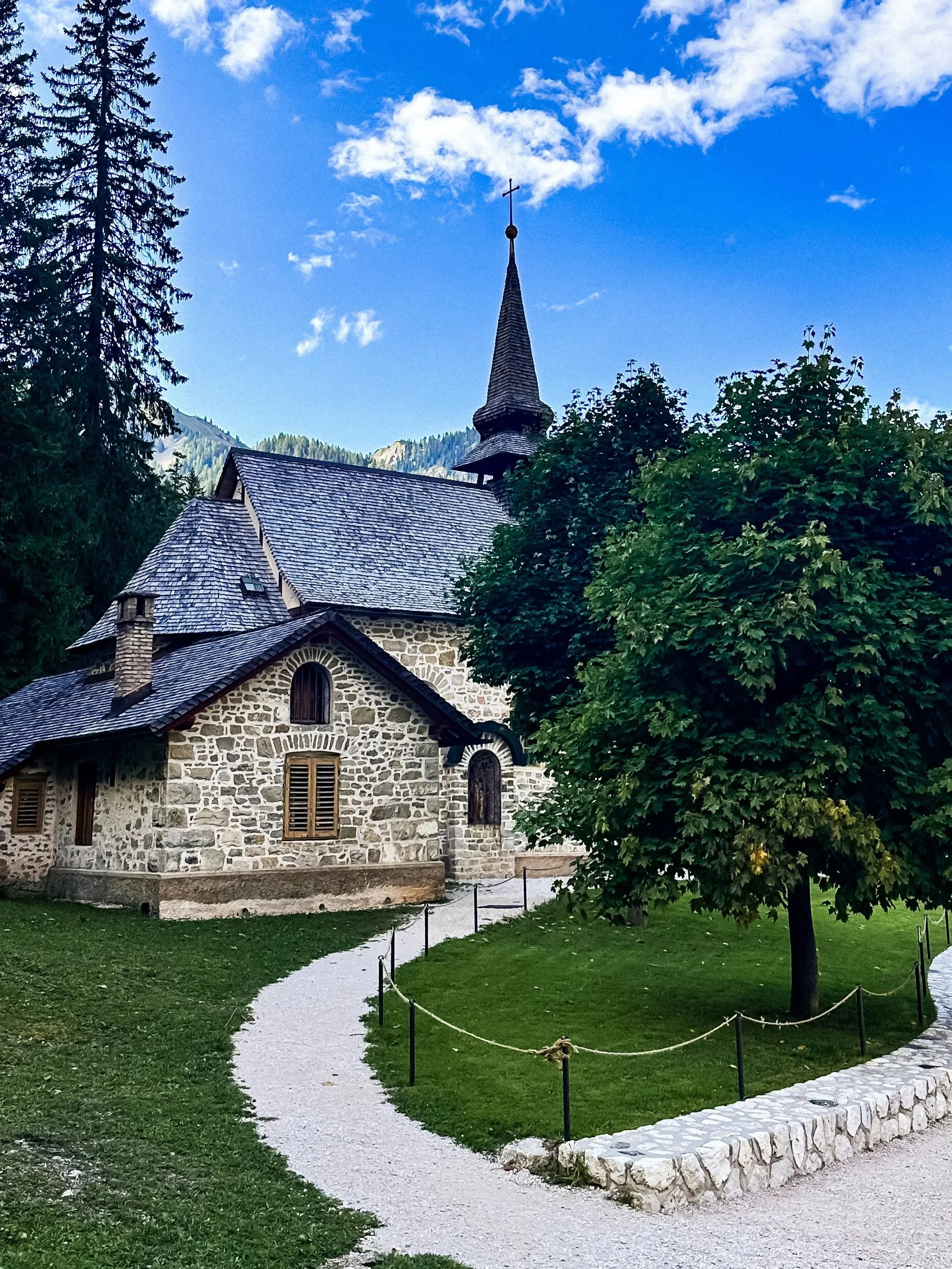
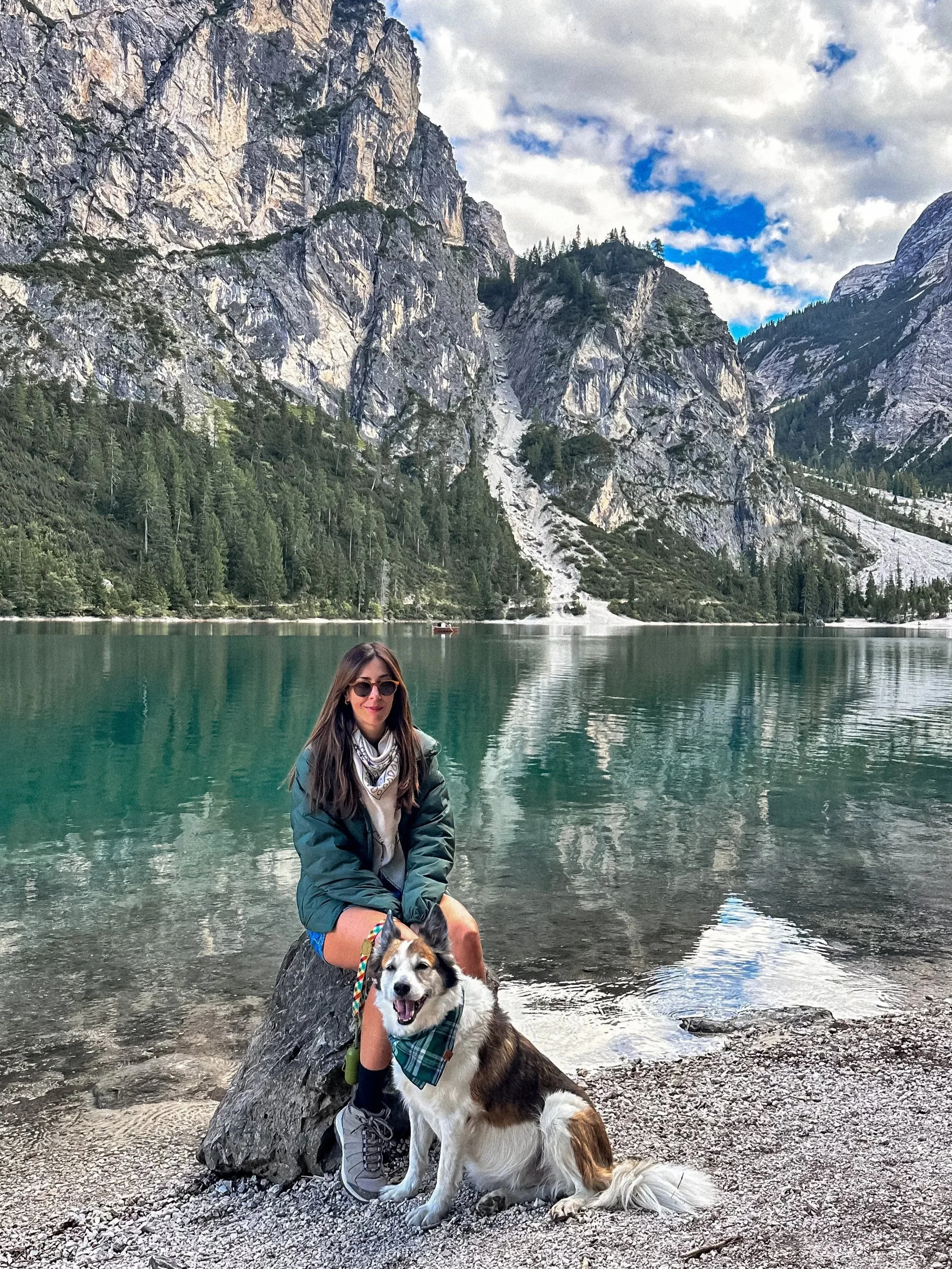
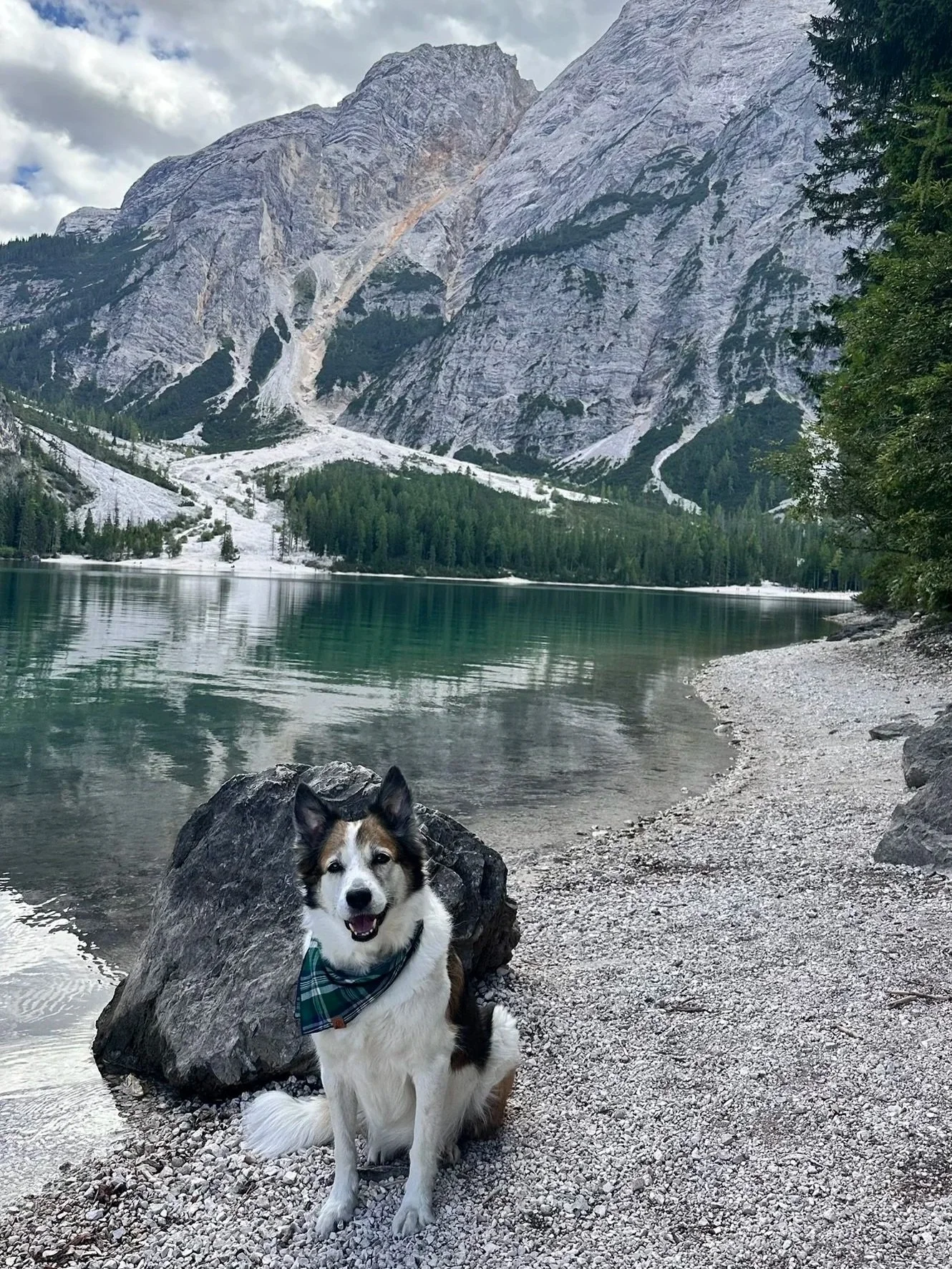
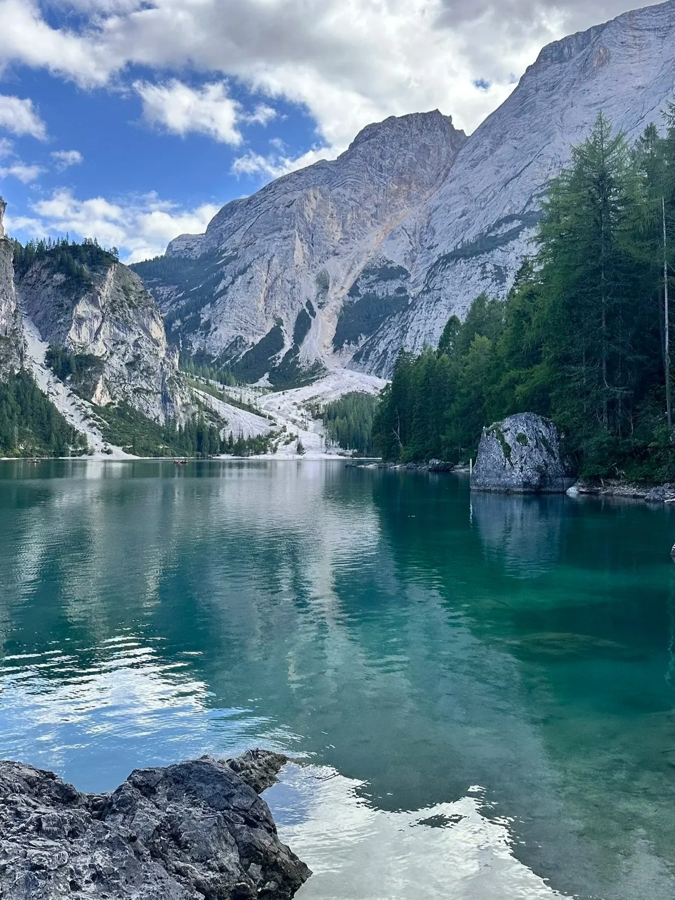
Lago di Braies is probably the most photographed lake in the Dolomites.
What makes it stand out is the color of the water and the way the mountains reflect almost perfectly when it’s calm.
According to a local Ladin legend, the lake is said to be the entrance to a hidden underground kingdom, the Kingdom of Fanes, one of the most important mythological tales of the Dolomites.
It’s a beautiful place, but also one of the busiest, so timing really changes the experience.
Access & parking (very important)
During high season, access is regulated. You usually need to: Pre-book parking (highly recommended) or arrive very early (before 8:30–9:00am). We booked the P4 parking which is just a short walk to the lake and you can use part of the ticket to consume in the restaurant inside the lake.
Main trail:
Loop around the lake
~3.5 km, about 1 hour
Easy, flat path all around
Practical tips
Best time: early morning or late afternoon
Avoid midday if possible
Bring patience, it’s a high-traffic spot. And if you’d like to rent a boat, expect long queues.
/// Lago di Dobbiaco
Lago di Dobbiaco is often overlooked compared to Braies, but that’s exactly what makes it interesting.
It’s quieter, more relaxed, and feels less staged. The landscape is softer, with forest surroundings and wide views.
A good stop if you want something calmer between bigger highlights.
Main trail:
Loop around the lake
Easy, flat
About 30–45 minutes
Practical tips
Good stop after Tre Cime on the way back
Nice alternative if you want to avoid crowds
Essential Tips for The Dolomites
Driving in the Dolomites
Roads are narrow, winding, and incredibly scenic. But also require attention. Avoid long drives after dark if possible.
Parking & booking
Some places require planning: Tre Cime → toll road + limited parking. Lago di Braies → reservation system in high season. Cable cars → check hours + last ride down.
Physical effort
Even “easy” days can be tiring. Between altitude, walking, and driving, it adds up. Plan lighter afternoons when possible.
Where to stay (important insight)
Many beautiful hotels are quite remote. I strongly recommend choosing places that either have a restaurant on-site for dinner or are close to a village, as by the end of the day you’ll likely be tired, and driving on small, winding roads at night is not the best option.
Weather
The weather in the Dolomites can change quickly, even in summer. Because you’re in the mountains, temperatures can drop significantly, especially at higher altitudes like Seceda or Tre Cime.
It’s very common to have warm conditions in the valley and much cooler, windy weather once you go up. Always bring an extra layer, even on sunny days (a light jacket or windbreaker is essential).
Rhythm
Don’t try to see everything. Distances are longer than expected. Focus on 1–2 key places per day
Final tip
The Dolomites are about timing and atmosphere. Early mornings and late afternoons make all the difference!